
| METEOSAT images cover the whole Earth disk with a spatial resolution (pixel size) of 5 x 5 km at the centre of the image disk. Each image is produced every half an hour and provides information on cloud cover which can be related to rainfall. This method relating cloud cover to rainfall is called Cold Cloud Duration and is used by the Migratory Pests Group over desert areas with some limitations. | 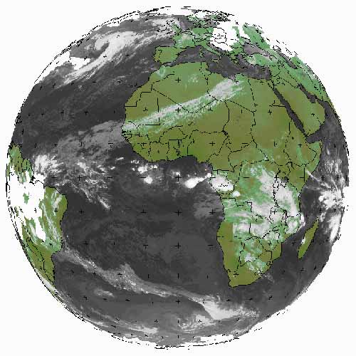 METEOSAT image |
| | | |
A service provided by the Migratory Pests Group to monitor the world-wide locust situation and keep
affected countries and donors informed of expected developments.
Food and Agriculture Organization (FAO) of the United Nations, Rome, Italy
|
Comments?: [email protected]