
| NOAA and SPOT4 satellites, respectively, carry the Advanced Very High Resolution Radiometer (AVHRR) and VEGETATION sensors. These sensors provide information on vegetation status such as vegetation greenness, percentage of vegetation cover and vegetation moisture content. Images are provided on a daily basis with a spatial resolution (pixel size) of approximately 1 x 1 km. NOAA-AVHRR images were used by the Migratory Pest Group until the launch of SPOT4-VEGETATION in April 1998. SPOT4-VEGETATION images offer a series of advantages over NOAA-AVHRR images. They provide better image positioning and better calibration. Daily SPOT4-VEGETATION images are synthesised on a 10-day basis (SPOT-VGT S10 products) and made available for monitoring vegetation conditions to the Migratory Pests Group. | 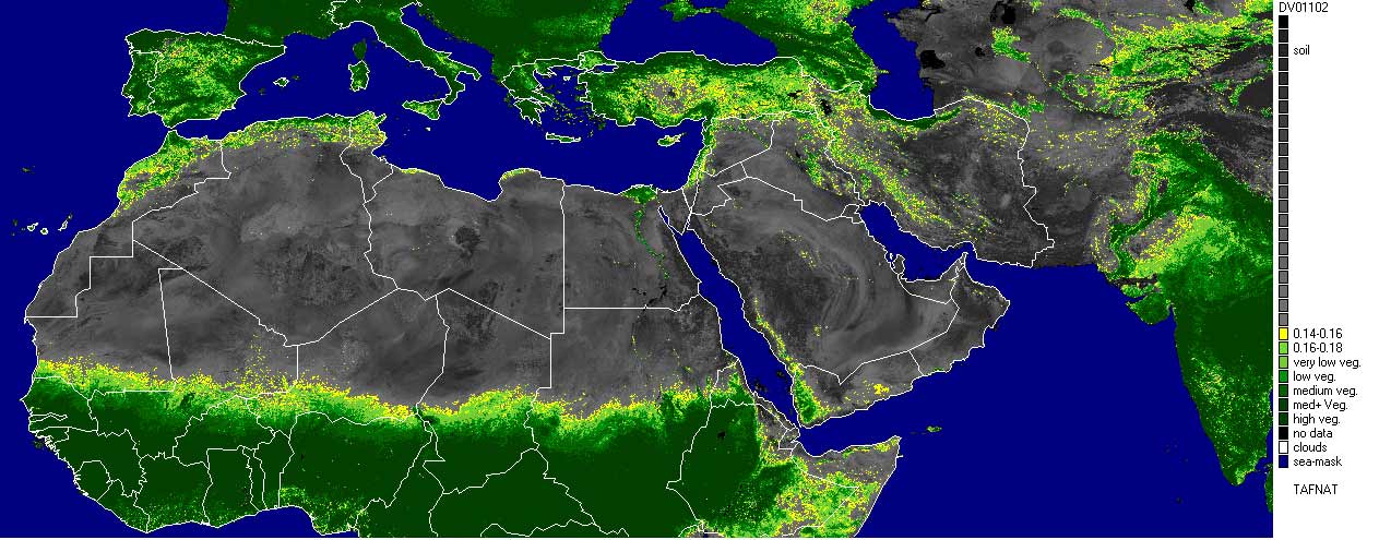 SPOT4-VGT NDVI first decade January 2002 |
Research is currently underway at the Migratory Pests Group to use SPOT4-VEGETATION 10-day composite images to monitor vegetation status in terms of greenness, percentage of vegetation cover and moisture content. A series of image products are currently developed and used by the Migratory Pests Group. A product using the vegetation index (NDVI) is available and used operationally to monitor vegetation greenness. New products such as the percentage of vegetation cover and vegetation/soil moisture content are currently being developed and tested to improve locust forecasting methods.
| | | |
A service provided by the Migratory Pests Group to monitor the world-wide locust situation and keep
affected countries and donors informed of expected developments.
|
Comments?: [email protected]