FAO leads a capacity-building workshop for the Hand-in-Hand country team in Gabon to define agricultural typologies and mapping

©@FAO
From July 4 to 6, 2023, a technical workshop was held at the Representation of the Food and Agriculture Organization of the United Nations (FAO) in Gabon to strengthen the capacity of the Hand-in-Hand (HiH) Country Team to use the tools developed by FAO headquarters in Rome to define agricultural typologies and value chain infrastructure location mapping. The workshop is part of the implementation of the Technical Cooperation Program between the Government of Gabon and FAO entitled (TCP/GAB/3804): "Support for the acceleration of Gabon's economic transformation in the framework of the Hand-in-Hand initiative", materializing the initiative's support for Gabon's Macroeconomic Policy framework transcribed in the Transformation Acceleration Plan (PAT, 2019- 2023).
The implementation of this program aims to develop evidence-based territorial investment plans to strengthen food security, as well as to operationalize the priority sectoral programs defined in the Transformation and Acceleration Plan: (I) Support for the cassava, plantain, fish, sugar, vegetable, poultry and pork sectors to ensure food self-sufficiency in basic and processed products within a framework of land allocation defined around 5 Zones with High Agricultural Productivity (ZAPs) created in Andem, Bifoun Abanga, Kango, Idemba and Mboukou. (II) Structuring the fishing and tuna processing industries within the framework of land allocation defined. ZAPs will be used to develop broader partnerships and mobilize human, technical and financial resources for public and private investment.
Based on consultations with the country team (National Task Force) of the Initiative in Gabon, it was agreed through a roadmap to strengthen its capacities in mastering the tools and models developed within the framework of the initiative. With this in mind, FAO organized an initial training workshop for the latter.
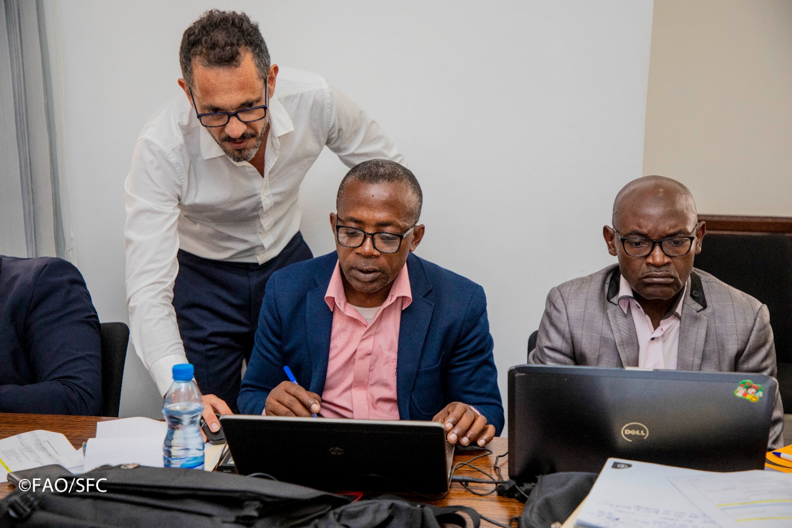
The 3-day workshop was attended by the project's country team from FAO Gabon, subregional office and government institutions. It was led by Mr. Nelson Rosas Ribeiro Filho, Geospatial Analysis Team Leader in the FAO Digitalization and Informatics Division (CSI). It also benefited from the support of econometricians from FAO headquarters (ESA/DDCG/HQ).
"The aim of this program is to develop evidence-based territorial investment plans to boost food security, as well as to operationalize the prioritized sectoral programs defined in the Acceleration and Transformation Plan", explained Mr. Rosas Ribeiro Filho.
''The collaboration between the Gabonese government and FAO, through the appropriation of the Hand-in-Hand platform by the country team, is crucial for the development of the sector", emphasized Mr Arslen Bounemra, FAO representative in Gabon, at the opening of the workshop. ''In this context, this workshop represents an ideal forum for participants to ask all the questions they need to better understand and use the tools developed to define agricultural typologies and mapping'’, he added.
The 1st-day presentation, delivered by Mr. Panagiotis Karfakis (ESA), focused on the Development of agricultural typologies in Gabon, the Presentation of the Stochastic Frontier Analysis model, the data used, the results obtained and potential / efficiency / poverty maps. Mr. Karfakis described the methodology and data used, and also presented result maps. He explained how these should be interpreted and applied, directing different types of intervention depending on agricultural potential and poverty efficiency.
The second presentation focused on Geographic Information System (GIS) Methodologies for Multi-Criteria Decision Analysis (MCDA), briefly describing the standard GIS analysis approach of the FAO Hand-in-Hand office. This approach is part of a decision-support and information-gathering process and was presented as a flexible tool for modeling hypothetical scenarios. Despite its potential to improve the definition of the location problem/solution, other challenges were nevertheless highlighted, such as the limitations and constraints of modeling: possible data problems, spatial reductionism and abstraction.
The final presentation focused on the results obtained on the development of suitability maps for priority agricultural product. Participants also asked for a longer and more in-depth knowledge transfer session.
The second day of the workshop was devoted to the HiH Geospatial Platform user interface, through hands-on exercises covering main tools and functionalities, including analysis, reporting and sharing.
The third day of the workshop was devoted to the introduction of the HiH data catalogue (CKAN) tabular publication, starting with an overview of the publication of the Hand-in-Hand Geospatial Platform, focusing on its architecture, procedures and metadata, and then focusing on the metadata Catalogue, with practical hands-on exercises. Prior to the workshop, a CKAN organization was created (Gabon Atelier MdM) with 15 participants added as members.
At the end of the workshop, which was positively received by the participants, the emerging recommendations for future action were for the HiH Gabon Country Team to draw up an inventory of the most recent data from Gabon and make it available to FAO for insertion into the Hand-in-Hand platform, and to organize another training session for GIS experts to continue building upon the progresses already achieved.