National aquaculture production 1950-2015
These maps are presented as standard maps and cartograms. In a cartogram the map is distorted with country resized in proportion to aquaculture production.
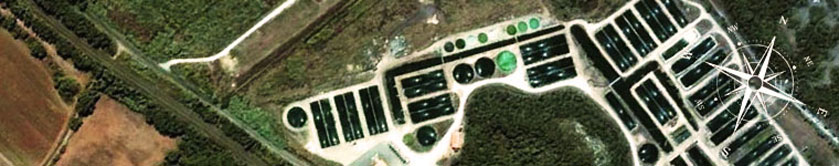
Click on the map to start the slide-show of the maps
All aquaculture | Inland aquaculture | Marine and coastal aquaculture |

| 
| 
|

| 
| 
|