Natural Resources and Ecosystems
Many complex and interlinked trends, including global population growth and climate change, will put increasing pressure on much of the world’s natural resources, which prop up the global economy. The need for regular and accurate monitoring of these resources has increased in parallel with rising global awareness and acknowledgement of the urgent need for innovative, measurable pathways to sustainable development and consumption.
FAO plays active roles in multilateral environmental agreements, providing input on measuring, monitoring, and verifying baselines and changes, as well as standards for reporting and quantification. FAO is supporting countries in the implementation and monitoring of the SDGs. It also collaborates with UN Environment on issues related to food security and ecosystems services.
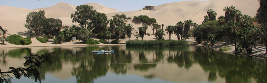
While most natural resources facing threats, some ecosystems are more vulnerable than others – e.g. drylands, deltas and oases – and are barely able to adapt to changes. Their monitoring is particularly urgent, given the increasing risk that the combined effects of environmental, human and climate change stressors cause negative feedback mechanisms that cause natural systems to collapse, together with the populations that rely on their services and goods.
Ecosystems and biodiversity
The identification of the value of services that our ecosystems deliver to humanity, and how these services are supported by biodiversity at all levels (gene, species, ecosystems, and landscape), is a critical and necessary component to support decision-making in restoring, protecting and developing our land.
Geospatial technologies can support these actions through the mapping of ecosystem conditions and services over time at various spatial scales. Remote sensing imagery (satellites and ortho-photos) can also support the understanding of biodiversity, particularly in those conditions related to landscape heterogeneity and complexity. Modelling of geospatial information (e.g. corridors for animal and plant dispersion, protection of wind-erosion from wind-breaks, and pollination by wild insect) can support the quantification and monitoring of ecosystems stocks and fluxes.