Risks and Disaster management
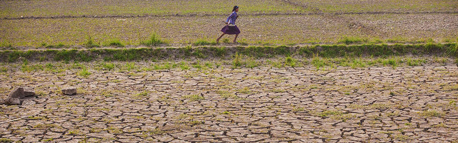
Natural hazards and disasters have a massive impact on the livelihoods of rural communities – particularly in developing economies, where greater numbers of vulnerable people depend on agriculture. Disasters can affect agriculture over a long period, as in droughts, or in a sudden, sharp shock, such as fires and floods. In both cases, agriculture suffers through damage to yields, livestock, infrastructure and, of course, people. Climate change, unfortunately, will increase the risks of all such events.
FAO assists countries in developing Disaster Risk Management plans – not only to respond to the impacts of disasters, but to increase the resilience of at-risk populations by combining prevention, mitigation and preparedness actions. Geospatial technologies support these plans by establishing geodatabases of disasters and natural hazards for risk mapping, identifying hotspots of vulnerability with multi-hazard risk assessments, and forecasting yields and crop failure. They are also particularly useful in assessing and quantifying the damages, in near-real time, in areas that are inaccessible.