Publications
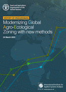
Modernizing Global Agro-Ecological Zoning with new methods: Report of proceedings, 24 March 2022
20 August 2022
20 August 2022
The Global Agro-Ecological Zoning version 4 (GAEZ v4), launched on 17 June 2021 uses well-established land evaluation principles to assess natural resources for finding suitable agricultural land utilization options. It is based on agro-climatic assessments,...
A rapid geospatial analysis of the flood impacts on crops in KwaZulu Natal and Eastern Cape Provinces of South Africa in 2022
15 August 2022
15 August 2022
South Africa is the southern most country on the African continent with the 121 309 ha of land area and highly dependent on agriculture sector (79 percent of agricultural land area) for food, income, and...
The Geospatial Unit of the Land and Water Division (NSL) at Food and Agriculture Organization of United Nations (FAO) and the International Institute for Applied Systems Analysis (IIASA organized the second virtual consultation, on 24 March 2022,...
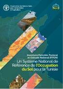
L’occupation du sol est une composante essentielle pour de nombreux domaines, de la gestion de l’eau à l’agriculture, de la lutte contre la désertification à celle contre le changement climatique. La détection des changements de...
West African Land Cover Reference System
25 July 2022
25 July 2022
There is an increasing necessity to provide timely and updated information about the status of land resources. It is well-known that land degradation not only results in reduced food production but also in reduced environmental...


