Publications
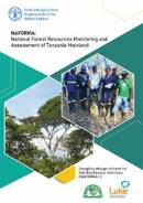
Three options for the sampling design of the field plot clusters of NAFORMA II biophysical survey are compared in this report. Option 1 consists of re-measuring all NAFORMA I field sample plots (3 205 clusters)...
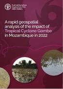
A rapid geospatial analysis of the impact of the Tropical Cyclone Gombe in Mozambique in 2022
04 July 2022
04 July 2022
Mozambique was hit by Tropical Storm Ana on 24 January 2022 and Tropical Cyclone Gombe on 11 March 2022. These extreme weather events caused floods, damages to infrastructure (including roads and electricity poles), the evacuation...
Introductory course to Google Earth Engine
01 July 2022
01 July 2022
FAO Geospatial Unit (NSL) and FAO Pakistan prepared an Introductory course on Google Earth Engine for land cover classification. The objective of this publication is to document training materials and lessons provided to technicians on operating...
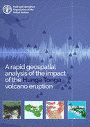
On the 15 January 2022 the underwater Hunga Tonga–Hunga Haʻapai volcano, located in the north of Tongatapu (the main island of Tonga), erupted following several minor eruptions over the previous weeks. It was reported...
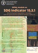
Monitoring land degradation neutrality with the good practice guidance version 2 (GPG v2)
01 June 2022
01 June 2022
Sustainable Development Goals (SDG) target 15.3 strive to achieve a land degradation neutral world. A module is available under the SEPAL platform (https://sepal.io) for monitoring and reporting land degradation in line with the good practice...


