Key Facts
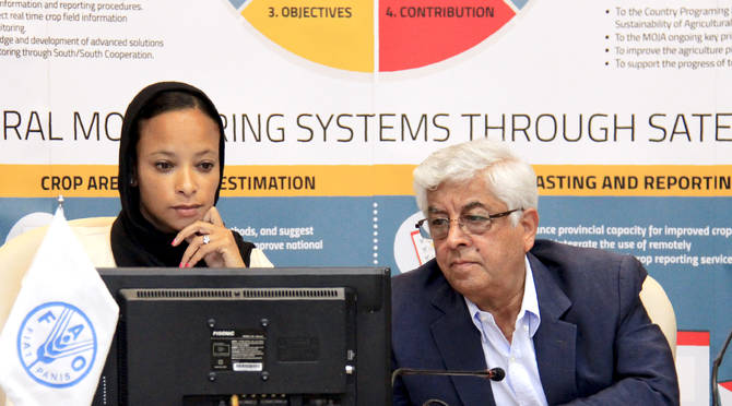
The project Improve Agriculture Monitoring Systems through Satellite Imagery for Iran, funded by FAO’s Technical Cooperation Programme, is being implemented by the Ministry of Jihad-e-Agriculture (MJA) and FAO.
The main objective of the project is to enhance the national agricultural monitoring system. This will be achieved through the development of sustainable methods and tools based on the integral use of geospatial technology and capacity development. The transfer of skills and good practices and the use of learning materials will help to ensure accurate crop production estimates and integrate the use of remotely sensed data in reporting.
This operational and innovative system hopes to improve the quality of agricultural information and reporting, crop status monitoring, area estimates and yield forecasting, and will be implemented at national level. By gathering precise and up-to-date agricultural statistics, the project supports the development of a more efficient and transparent Agricultural Market System, and encourages the coordination of policy action in response to market uncertainty.
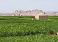
The project focuses on three distinct provinces, where the development of an operational and innovative system will provide the evidence for a methodology, to be extended at national level.
Project Components
Develop an innovative Agricultural Monitoring System
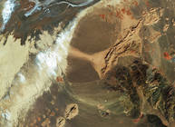
The project will establish an operational and innovative national Agricultural Monitoring System (AMS) integrated with remotely sensed data and technology to improve crop status checks, area estimates and yield forecasting. It will benefit from multi-temporal and recent satellite images related to a range of crops across the country.
The project will review and evaluate the current agriculture monitoring methodology within the MJA and establish a baseline of current approaches, gaps and limitations in procedures and, identify the main sustainable methods and tools, and areas for improvement.
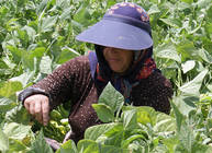
Enhance provincial capacity for improved crop estimates
The project will improve existing crop forecasting and reporting capabilities at provincial level through the development of a regularly scheduled series of actionable crop production reports. These will be developed by the provincial agriculture offices that fully utilize area-yield survey data, along with remotely sensed information.
Capacity development through transfer of relevant methods
and good practices
The project will provide the Iranian institutions at national and provincial level with technical support in Satellite Remote Sensing and GIS Technologies, creating area frames and generating agricultural statistics for crop assessment monitoring.