WaPOR, remote sensing for water productivity

Explore uses and applications of WaPOR data:

  Applications catalogue

Share with us the work that you or your organization have done using WaPOR data to integrate it into this catalogue.

Submit an entry to the catalogue here.

Artboard 48

The FAO has developed a publicly accessible near real time database using satellite data that allows the monitoring of agricultural water productivity at different scales.

This database is the backbone of the WaPOR project that, now in its second phase, works with ten partner countries to build their capacity in the use of WaPOR data for its different applications, and to generate solutions to local challenges linked to water and land productivity as well as water management.

Head here to find out who are the partners that make WaPOR possible.

Accessing WaPOR data

New WaPOR portal

WaPOR data can also be found on:

and through other means. Find out more.

 Latest news and updates
On-the-job training series in Jordan: Using WaPOR data for irrigation performance assessment
13/06/2024

On 12 and 13 June 2024, FAO in collaboration with the  International Water Management Institute (IWMI), conducted a on-the-job training session...

Steering Committee Meeting of the WaPOR Project in Algeria
10/06/2024

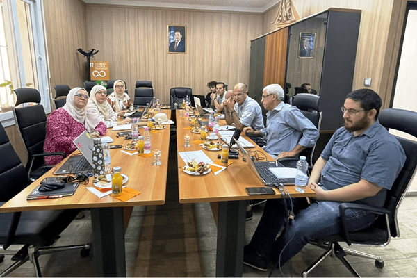
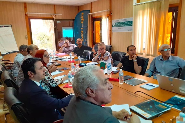
The steering committee of the WaPOR project met on June 10, 2024, at the National Institute of Agronomic Research of Algeria. The purpose of the...

WaPOR participation at the 10th World Water Forum
05/06/2024

The Food and Agriculture Organization of the United Nations (FAO) participated in the 10th World Water Forum in Bali, Indonesia, from 18 to 25 May...

Animation of the Wat Count game at the Ministry of Water Resources in Algeria
13/05/2024

As part of the implementation of activities under the WaPOR project at the Ministry of Hydraulics, the FAO project team seized the opportunity on...

Crop mapping data collection missions in Algeria for the Mitidja Plain season 1
13/05/2024

As part of the implementation of the activities of the project "Monitoring the productivity of land and water by remote sensing" (WaPOR phase 2)...

WaPOR presented at the 6th Conference on the use of space technology for water management in Costa Rica
08/05/2024

Jorge Gutierrez, WaPOR national coordinator in Colombia, presented WaPOR project at the 6th Conference on the use of space technology for water management...

Workshop to present the field data collection – crop mapping for the winter season in the Jericho and Jordan Valley Governorate, Palestine
02/05/2024

The Applied Research Institute-Jerusalem (ARIJ) in coordination with the Food and Agricultural Organization of the United Nations (FAO), the Ministry...

FAO and IWMI Host Co-Design Workshop for WaPOR-Based Irrigation Performance Assessment Tool in West Al-Gharraf, Iraq
30/04/2024

The Food and Agriculture Organization of the United Nations (FAO) and the International Water Management Institute (IWMI) collaborated to host a...

WaPOR presented during FAO's technical session at the WSTA 15th Gulf Water Conference in Doha, Qatar
29/04/2024

The Food and Agriculture Organization of the United Nations (FAO) hosted a technical session "Leveraging Geospatial Technology to Bridge the Data...

Training workshop on crop mapping in Jendouba and Kairouan, Tunisia
26/04/2024

As part of the first component of the WaPOR 2 project, focused on "Development and provision of high-resolution data (20 m)," the project's National...


Highlighted publications and events
11/2023

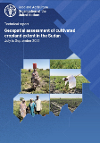
A rapid assessment was conducted in July, August, and September 2023 to estimate the extent of cultivated cropland in Sudan, considering the disruption caused by armed conflict, using geospatial data to inform immediate and long-term food security management.
03/2023

This brief was produced by the FAO Investment Center under the FAO-World Bank Cooperative Programme and proposes concrete applications of WaPOR data in irrigation management by exploring the case of the Bekaa Valley.
12/2020

In periods of conflict, the mechanisms for collecting agricultural data can be disrupted as it might be too unsafe for data to be collected in-situ, or crucial data-collecting infrastructure might be damaged. In such cases, remote sensing data (or earth observations data) can constitute a viable data source to turn to as an alternative or a complement. This case study explores the use of WaPOR data to monitor agricultural activity in conflict areas by focusing on the use of WaPOR data in Syria.

Sponsorship and partnerships:

The WaPOR project and the WaPOR database are made possible thanks to funding from:

and the partnership with:


Find out more in the dedicated partner's page.

Upcoming events
All events


Follow project updates through social media
  Join the conversation

 [email protected]

📧 Subscribe here to receive WaPOR updates.