土地资源规划工具箱
该类工具在土地评估过程中突出了生物自然属性(气候、土壤、地形、水等)及其相互作用。大多数情况下,主要基于生物自然属性的输出结果会引导用户选择合适的土地利用方案。土地适宜性和相似性分析是典型的例子。包括描述土地评价的原理、方法和准则的文件,以及基于特定用途、能力或潜力、肥力限制和管理、产量、生产力、物理和化学性质的不同的土壤分类工具。复杂或简化的作物生长和产量预测模型也属于这一类。
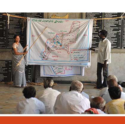
该类工具利用生物自然特征和社会经济条件作为输入信息,并通常包括参与式土地利用规划的原理、方式和方法,其总体目标是实现所有利益相关者互利共赢。
该类工具突出了土地利用规划所需要的社会和经济环境特征,包括参与决策的方式和方法。这些工具也可以考虑生物自然条件,但不作深度考虑。

该类包括可促进土地评价和土地利用规划的数据库,通过为这些过程提供输入信息而实现。这些数据库提供了多种地图和数据,包括土壤和地形特征、土地退化、土地覆盖、土地利用、气候数据(包括未来的预测)、作物和产量、粮食、农业、水资源、植物物种对特定环境的适应性/适宜性、关于贫穷、人口、职位和性别的社会经济数据和统计数据

该类工具并不产生直接用于土地评估和土地利用规划的结果。但它提供了各种类型的数据,可用于土地评价研究和作为土地利用规划的输入数据集。
Number of records: 171

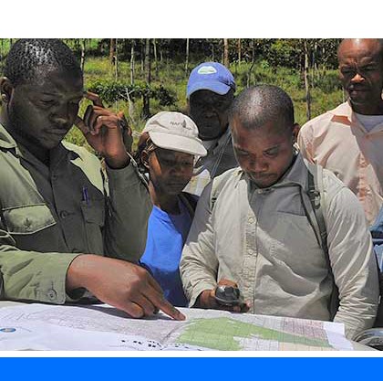
A micro-region is a distinct territorial unit with clearly marked boundaries below the regional level, but above the village level, and associated network of different actors from government, local government, the private sector and civil society. Characteristics of good micro-regional planning (MRP) are: (1) it is bottom-up (initiated by the...
Type: Framework/Guidelines
Scale: Watershed/Basin/Landscape
Thematic areas: Land management/planning
User Category: 政策制定者

The WorldPop project provides high-resolution, open-access and contemporary data on human population distributions, allowing accurate measurement of local population distributions, compositions, characteristics, growth and dynamics, across national and regional scales. WorldPop provides high-resolution gridded estimates for population, age structure, dependency ratios at continental scale for Africa, Latin America and the...
Type: Maps/GIS
Scale: Global, Regional, National, Sub-national/Province/District
Thematic areas: Population - distribution
User Category: 技术专家, 模型建立者

WorldClim is a set of global climate layers (gridded climate data in GeoTiff format) that can be used for mapping and spatial modeling. WordlClim version 2 contains average monthly climatic gridded data for the period 1970-2000 with different spatial resolutions, from 30 seconds...
Type: Maps/GIS
Scale: Global, Regional, National, Sub-national/Province/District, Watershed/Basin/Landscape
Thematic areas: Climate
User Category: 技术专家, 模型建立者

The Voluntary Guidelines for Sustainable Soil Management (VGSSM) were developed through an inclusive process within the framework of the Global Soil Partnership (GSP). The guidelines provide technical recommendations on how sustainable soil management can be achieved. The VGSSM are of voluntary nature and are...
Type: Framework/Guidelines
Scale: Locality/Farm/Site, Watershed/Basin/Landscape
Thematic areas: Soils - management and conservation
User Category: 政策制定者, 利益相关者

The purpose of the Voluntary Guidelines on the Responsible Governance of Tenure (VGGT) is to provide guidance to improve the governance of tenure of land, fisheries and forests with the overarching goal of achieving food security for all. VGGT is based on the premise that the eradication of hunger and...
Type: Framework/Guidelines
Scale: National, Sub-national/Province/District, Locality/Farm/Site
Thematic areas: Land management/planning, Land/water rights
User Category: 技术专家, 政策制定者, 利益相关者
The Shuttle Radar Topography Mission (SRTM) database contains global elevation data with 3 arc-second (90 m) spatial resolution. The data are made available through the CGIAR Consortium for Spatial Information (CGIAR-CSI) website in mosaiced 5 deg x 5 deg tiles in both ArcInfo ASCII
Type: Maps/GIS
Scale: Locality/Farm/Site, Watershed/Basin/Landscape
Thematic areas: Topography
User Category: 技术专家, 模型建立者
The Land Potential Knowledge System (LandPKS) is a mobile phone application that helps land managers make more sustainable land management decisions. It is largely funded by USAID and implemented by the United States Department of Agriculture. LandPKS is designed to help offset the major challenges land resource managers face in...
Type: Crowdsourcing,Data
Scale: Locality/Farm/Site
Thematic areas: Land use/cover, Soils - distribution and properties
User Category: 技术专家, 利益相关者
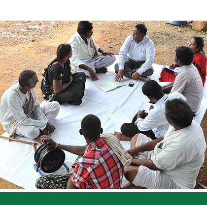
IGETI provides guidelines on how to use dialogue and negotiations processes to reach a consensus on how land and natural resources are used to the greater benefit of people from different contexts and backgrounds (women, men, boys and girls). IGETI is based on FAO’s Participatory Negotiated Territorial...
Type: Framework/Guidelines
Scale: Locality/Farm/Site
Thematic areas: Social - participatory approaches
User Category: 协助人员, 利益相关者
The International Guidelines on Urban and Territorial Planning (IG-UTP) intend to constitute a global framework for improving policies, plans and designs for more compact, socially inclusive, better integrated and connected cities and territories that foster sustainable urban development and are resilient to climate change. The main objective of IG-UTP is...
Type: Framework/Guidelines
Scale: National, Sub-national/Province/District
Thematic areas: Land management/planning
User Category: 科学顾问, 政策制定者
Hortivar is FAO´s database on the performances and standard descriptions of horticultural cultivars over the world. Information can be retrieved regarding six groups of crops: fruits, vegetables, root and tuber crops, herbs and condiments, ornamentals and mushrooms. Hortivar contains a standard methodology for data collection and record keeping on the...
Type: Crowdsourcing,Data
Scale: Regional, National, Sub-national/Province/District
Thematic areas: Agriculture - productivity
User Category: 技术专家, 利益相关者