土地资源规划工具箱
该类工具在土地评估过程中突出了生物自然属性(气候、土壤、地形、水等)及其相互作用。大多数情况下,主要基于生物自然属性的输出结果会引导用户选择合适的土地利用方案。土地适宜性和相似性分析是典型的例子。包括描述土地评价的原理、方法和准则的文件,以及基于特定用途、能力或潜力、肥力限制和管理、产量、生产力、物理和化学性质的不同的土壤分类工具。复杂或简化的作物生长和产量预测模型也属于这一类。
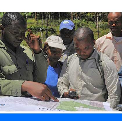
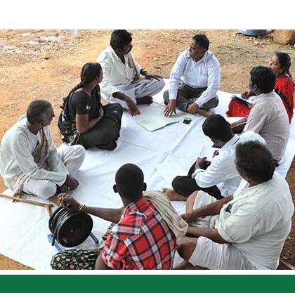
该类工具利用生物自然特征和社会经济条件作为输入信息,并通常包括参与式土地利用规划的原理、方式和方法,其总体目标是实现所有利益相关者互利共赢。
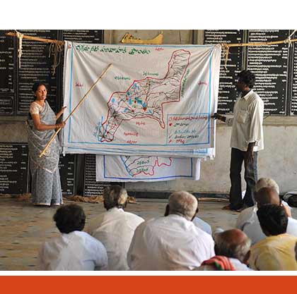
该类工具突出了土地利用规划所需要的社会和经济环境特征,包括参与决策的方式和方法。这些工具也可以考虑生物自然条件,但不作深度考虑。

该类包括可促进土地评价和土地利用规划的数据库,通过为这些过程提供输入信息而实现。这些数据库提供了多种地图和数据,包括土壤和地形特征、土地退化、土地覆盖、土地利用、气候数据(包括未来的预测)、作物和产量、粮食、农业、水资源、植物物种对特定环境的适应性/适宜性、关于贫穷、人口、职位和性别的社会经济数据和统计数据

该类工具并不产生直接用于土地评估和土地利用规划的结果。但它提供了各种类型的数据,可用于土地评价研究和作为土地利用规划的输入数据集。
Number of records: 171

GRASS is a standard for sustainable rangeland management developed through experiences gained in a collaborative project involving The Nature Conservancy (TNC), Ovis XXI, rangeland scientists and grazing consultants, and a network of ranchers in the Argentinian and Chilean Patagonia. Patagonia’s 400 million acres of temperate...
Type: Documentation/Manuals
Scale: Locality/Farm/Site
Thematic areas: Agriculture - productivity
User Category: 利益相关者

The Global Partnership on Forest and Landscape Restoration (GPFLR) is a proactive global network that unites governments, organizations, academic/research institutes, communities and individuals under a common goal: to restore the world’s lost and degraded forests and their surrounding landscapes.
Specifically, the GPFLR responds directly to the Bonn...
Type: Framework/Guidelines,Maps/GIS
Scale: Locality/Farm/Site, Watershed/Basin/Landscape
Thematic areas: Forestry - statistics, Land management/planning, Land use/cover
User Category: 技术专家, 科学顾问

Global Forest Watch (GFW) contains the following forest-related datasets: (1) forest change data (changes within forests at different resolutions, frequencies, and geographic extents, including tree cover loss and gain data, near real-time forest alerts, and active fire data); (2) forest cover data ( types of forest cover at different...
Type: Maps/GIS
Scale: Global, National
Thematic areas: Land use/cover, Remote sensing
User Category: 技术专家, 科学顾问

The Land Cover Classification System (LCCS) was developed by FAO to provide a consistent framework for the classification and mapping of land cover. Its main objectives were to overcome the rigidity of a-priori land cover classifications, which in many practical situations do not allow easy assignment into one of the...
Type: Data,Documentation/Manuals
Scale: Sub-national/Province/District, Watershed/Basin/Landscape
Thematic areas: Land use/cover
User Category: 技术专家, 科学顾问, 模型建立者, 协助人员, 利益相关者
LADA is a scientifically-based approach to assessing and mapping land degradation at different spatial scales – small to large – and at various levels – local to global. LADA’s main objective is to identify and understand the causes of land degradation and the impacts of land use, in order...
Type: Documentation/Manuals,Maps/GIS,Questionnaire/Survey
Scale: Global, Regional, National, Sub-national/Province/District, Locality/Farm/Site, Watershed/Basin/Landscape
Thematic areas: Land degradation
User Category: 技术专家, 科学顾问
The Guidelines for Land Use Planning, published in 1993, summarize experiences gained by FAO on land use planning through numerous field projects and the consensus reached through expert consultations. In the guidelines land use planning is interpreted as the systematic assessment of physical, social and economic factors in such a...
Type: Framework/Guidelines
Scale: National, Sub-national/Province/District, Locality/Farm/Site, Watershed/Basin/Landscape
Thematic areas: Land management/planning
User Category: 政策制定者
GlobCover is an European Space Agency initiative which aimed to develop a service capable of delivering global composites and land cover maps using as input observations from the 300m MERIS sensor on board the ENVISAT satellite mission. The Globcover global Land Cover map covers the period December...
Type: Maps/GIS
Scale: Global, Regional, National, Sub-national/Province/District, Watershed/Basin/Landscape
Thematic areas: Land use/cover
User Category: 技术专家
The Global Land Cover-SHARE (GLC-SHARE) is a global land cover database with spatial resolution of 30 arc-seconds (~1 sq.km). GLC-SHARE was created by the Land and Water Division of FAO in partnership with and based on contributions from various institutions by a combination of “best available” high resolution national, regional...
Type: Maps/GIS
Scale: Global, Regional, National, Sub-national/Province/District, Watershed/Basin/Landscape
Thematic areas: Land use/cover
User Category: 技术专家
Global Land Cover Characterization (GLCC) is a series of global land cover classification datasets made available by the United States Geological Survey. They are based primarily on the unsupervised classification of 1-km AVHRR (Advanced Very High Resolution Radiometer) 10-day NDVI (Normalized Difference Vegetation Index ) composites. The...
Type: Maps/GIS
Scale: Global, Regional, National, Sub-national/Province/District, Watershed/Basin/Landscape
Thematic areas: Land use/cover
User Category: 技术专家
The Global Assessment of Soil Degradation (GLASOD) is a first attempt to prepare a world map on the status of human-induced soil degradation. The study was conducted by ISRIC between 1988 and 1991 and led to a global paper map at scale of 1:10 million. The...
Type: Documentation/Manuals,Maps/GIS
Scale: Global
Thematic areas: Land degradation
User Category: 技术专家