Earth observation
Locust monitoring using satellites
Currently available satellites cannot directly detect individual locusts or locust swarms. Some highly sophisticated satellites used by the military and forthcoming civilian satellites could potentially detect locust swarms but these images are not yet available. Current satellites can provide continuous estimates of rain-producing clouds and ecological conditions, such as vegetation development, which are important factors for monitoring Desert Locust habitats and forecasting locust development. The temporal, spectral and spatial characteristics of the sensor instruments onboard these satellites provide a wide range of sensing capabilities.
Rainfall estimates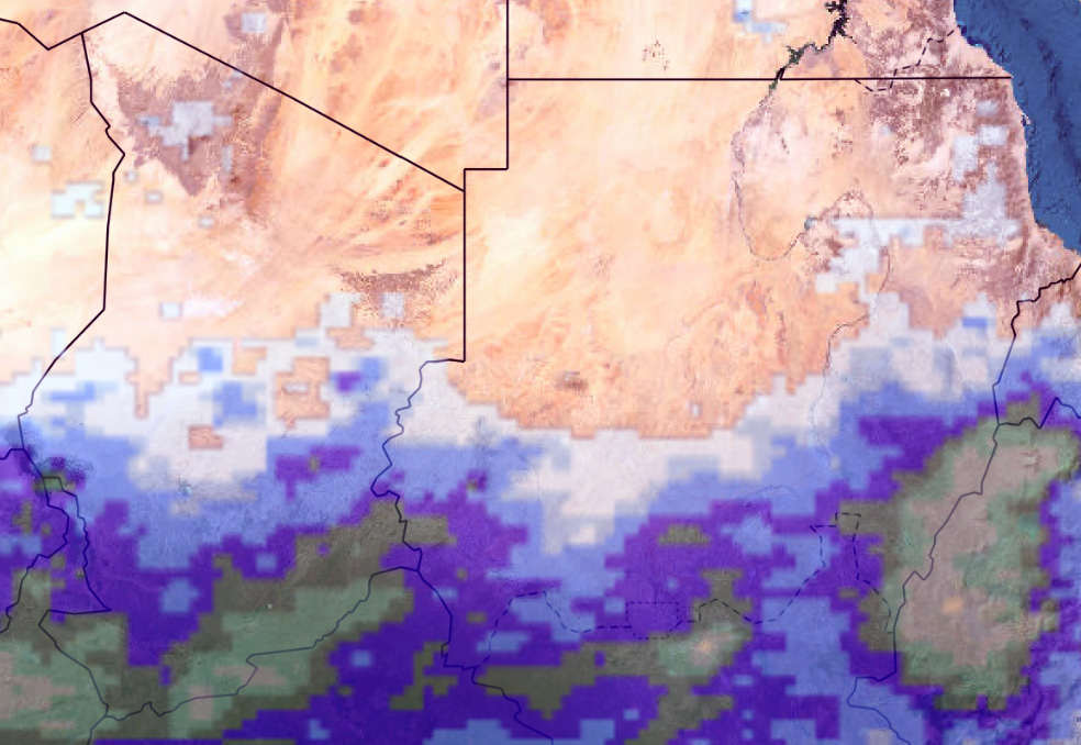 DLIS uses estimates to understand better the spatial and quantitative distribution of rainfall in Desert Locust breeding areas. Although the imagery is available every 15 minutes and estimates every three hours, DLIS uses daily 24-hour, decade and monthly cumulative estimates processed by Columbia University's International Research Institute for Climate and Society (IRI). DLIS combines satellite-derived estimates with those that originate from meteorological models. This method produces global precipitation estimates from passive microwave and infrared data at high spatial and temporal resolution (CMORPH).
The accumulated rainfall during the most recent data is based on estimates from the Climate Prediction Center Morphing technique. Whenever possible, these are verified with ground data.
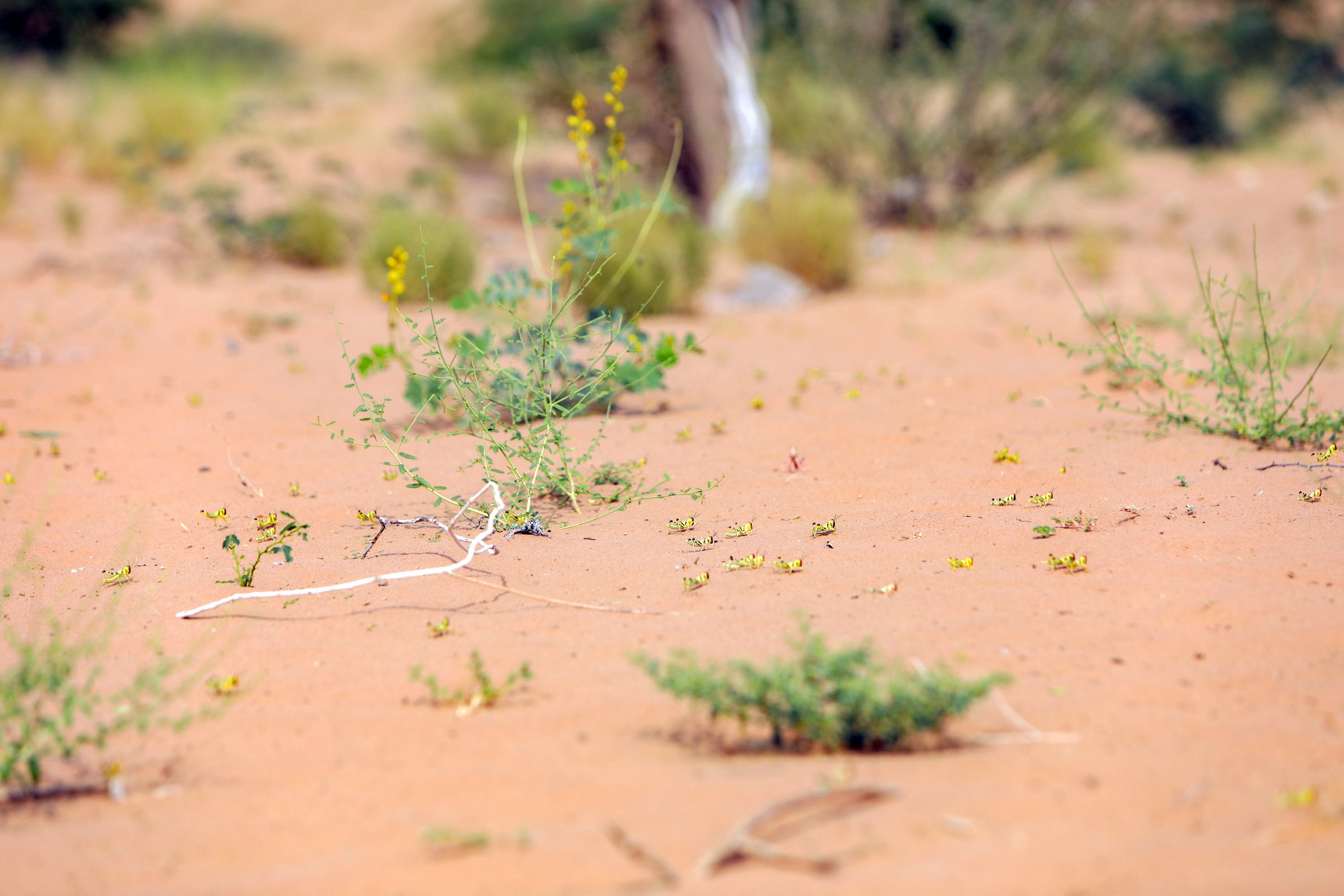
Vegetation estimates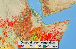 DLIS used to rely on 300 m resolution of NDVI and EVI imagery from the SENTINEL-2 EC Joint Research Centre (JRC) to monitor ecological conditions in the breeding areas of the Desert Locust. These sensors are specifically designed for vegetation monitoring, it became clear that it is difficult to detect the sparse vegetation in the desert – vegetation that appears to be dry to the satellite yet sufficiently green for Desert Locust survival and breeding.
The greenness maps are available every ten days. Analysis of individual channels provides an even more accurate estimation of ecological conditions in Desert Locust habitats. DLIS is looking into the possibility of using 20-metre resolution Sentinel-3.
Soil moisture estimates
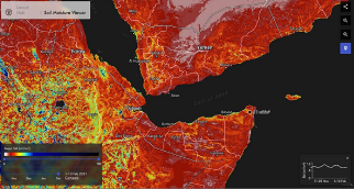 DLIS collaborates with NASA and Lobelia to produce two products on an operational basis that estimate soil moisture that is required for successful egg-laying and hatching by Desert Locusts. The Lobelia product is the result of the SMELLS SM project that developed average soil moisture from daily estimates at 1 km spatial resolution during the most recent decade based on disaggregated SMOS soil moisture product. Typical surface soil moisture values are from 0.05-0.25 m3/m3 for Desert Locust monitoring.
Current research and progress
FAO DLIS collaborates with a variety of universities and other partner institutes such as the Italian Institute of Biometeorology (IBIMET), the European Commission Joint Research Centre (JRC), Columbia University's International Research Institute for Climate and Society (IRI), NASA's World Wind Project, the Catholic University of Louvain (Belgium), and others in improving the application of remote sensing imagery for Desert Locust monitoring and forecasting.
See also
Модели
(на английском языке)
Оценка темпов развития и миграции саранчи, трехмерная визуализация и оптимальные меры реагирования
Чрезвычайные операции
(на английском языке)
EarthRanger: мониторинг и борьба с применением аэрофотосъемки
Беспилотные летательные аппараты
(на английском языке)
dLocust: беспилотные летательные аппараты с большой дальностью полетов для картографирования растительности и выявления саранчи

Цифровые инструменты
(на английском языке)
Пакет приложений eLocust3: передача данных с мест в национальные центры по борьбе с саранчой в реальном времени
Прогнозы климатических условий
(на английском языке)
Использование шестимесячных прогнозов осадков и температуры для прогнозирования развития саранчи