09/11/2010
Land Use systems (LUS) mapping workshop in Burundi and multi-country LUS workshop in Rwanda
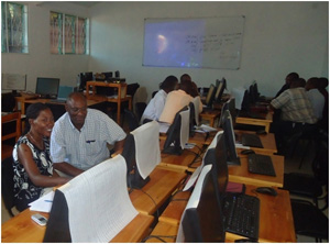 After a planning and data collection phase in collaboration with the Nile Equatorial Lakes Subsidiary Action Program of the Nile Basin Initiative (NBI NELSAP), LUS workshops started in Burundi, Gitega from 8-16 November, 2010 with 8 participants with experience in GIS. In Rwanda, the multi-country LUS workshop was held from 18th November 10 to 3rd December 10 at the GIS centre of the National University of Rwanda (CGIS - NUR) with participation by 12 GIS experienced persons from Rwanda (6) Tanzania (4) and Uganda (2).
Land use maps of Burundi and Rwanda and LUS maps of the areas of Tanzania and Uganda included in the Kagera TAMP project area were produced by national experts, including a spatial database.
The prioritization of TAMP field activities is supported by the definition of hotspots (pressures) and bright spots on land degradation.
This identification stands on baseline information regarding land degradation (LD) and sustainable land management (SLM) at a geographical scale and is based on the database preparation. The LD and SLM maps are built using the Land degradation assessment in drylands (LADA) method including two phases: i) the definition of the units of assessment by building the Land Use Systems (LUS) maps adapted for the use at the Kagera watershed scale and ii) the use of the LADA WOCAT questionnaire for mapping (QM).
The entire process has been coordinated by a FAO-NRL consultant; Ms Monica Petri.


