Land Use and Land Cover
The data is presented as a percentage share of the total grid-cell extent for a 5' latitude by 5' longitude grid-cell.
Note that the data files are in ascii format. The best way to save them to your computer is to click on the link with the right mouse button and select "Save Link As..." or "Save Target As...". More information on the data format is on the data format page.
DATA FILES | MAP | |
rain-fed cultivated land | ||
irrigated cultivated land, according to GMIA 4.0 | ||
total cultivated land | ||
forest land, calibrated to FRA2000 land statistics | ||
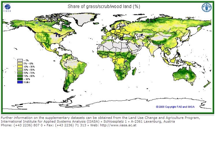
grass/scrub/woodland | ||
built-up land (residential and infrastructure) | ||
barren/very sparsely vegetated land | ||
mapped water bodies |
|
Data Citation:
Fischer, G., F. Nachtergaele, S. Prieler, H.T. van Velthuizen, L. Verelst, D. Wiberg, 2008. Global Agro-ecological Zones Assessment for Agriculture (GAEZ 2008). IIASA, Laxenburg, Austria and FAO, Rome, Italy.