![]()
![]()
![]()
1.1. Geographic position of the country
1.2. Socio-economic information
1.3. Ecological information
Ethiopia has an area of approximately 1.12 million km² and is located between 3°24' and 14°53' north and 32°42' and 48°12' east (Balcha, 1999). Its population is about 60.1 million in 1997 with 83.7% of rural population (FAO, 1999).
Population density is 60.1 inhabitants/km² with an annual rate of change (1995-2000) of 3.2% (FAO, 1999). The GNP per caput was 100 US$ in 1995 (FAO, 1999). Agricultural sector contributes to 50% of the Gross Domestic Product (FAO/PAM, 1997).
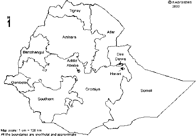
Fig.1: Ethiopia administrative map
Four major bio-climatic zones can be identified in the country:
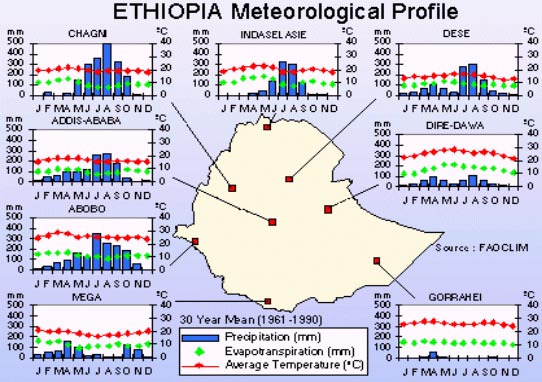
The rainfall map of the country is shown at fig.2.
Fig.2: Ethiopia meteorological map
Ethiopia's forest and woody vegetation are classified as:
![]()
![]()
![]()