

Sri Lanka is administered through nine provinces (Eastern, Western, Northern, Southern, Central, Uva, North Central, North Western and Sabaragamuwa) consisting of 25 districts (Figure 1). Each district is divided further into divisional secretariat divisions (DS divisions) that are subdivided into Grama Niladhari divisions (GN divisions), which are the smallest administrative units.
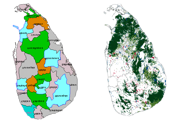
Figure 1. Administrative districts of Sri Lanka Figure 2. Forest cover of Sri Lanka
The current National Forest
Policy formulated in 1995 emphasizes the strict conservation of the remaining
natural forests for soil and water conservation and biodiversity while
increasing tree cover in other areas to meet the demand for forest products and
services. Participatory management has been identified as the key approach to
forest resource management.
The Forestry Sector Master
Plan (FSMP 1995) outlines the strategies for the development of the forestry
sector until 2020 and identified home gardens as the main source of timber and
fuelwood. Several studies on the structure, species composition and economics
of home gardens have been conducted in parts of the country (McConnell and
Dharmapala 1973; Jacob and Alles 1987; Perera and Rajapakse 1991). The earlier
studies were confined to the wet hills and lowland home gardens, better known
as “Kandyan Forest Gardens”. A comprehensive assessment of the true potential
of home gardens to supply industrial timber and other forest products and
services is lacking. An attempt to assess the tree resources in home gardens
throughout the country was made in 1996 by the Ministry of Forestry and
Environment. The survey was carried out by the Grama Niladaries (headmen) under
the direction of the divisional secretaries. The collected data are available
in tabular form. Unfortunately, the data were never analysed and therefore
valuable information on trees in home gardens has not been disseminated. This
report provides an analysis of the 1996 data.
