Areas of work
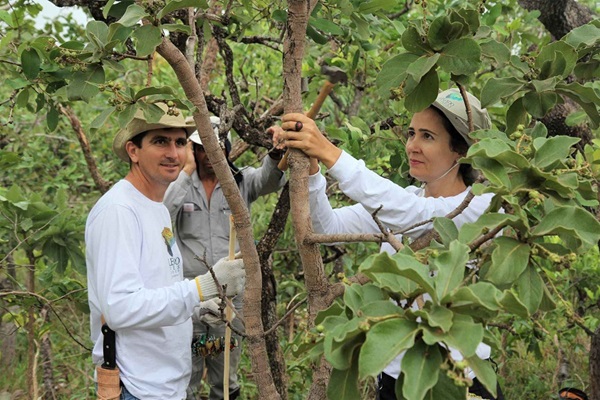
MRV for
Environmental lntegrity
Open Foris is facilitating Measurement, Reporting and Verification (MRV) with Environmental Integrity; 90% of forest submissions from 63 countries to the UNFCCC have used Open Foris.
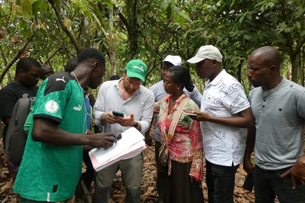
Deforestation-free
supply chains
With 10 million hectares of forest lost to deforestation annually, new solutions are being developed in Open Foris to enable sustainable commodity production.
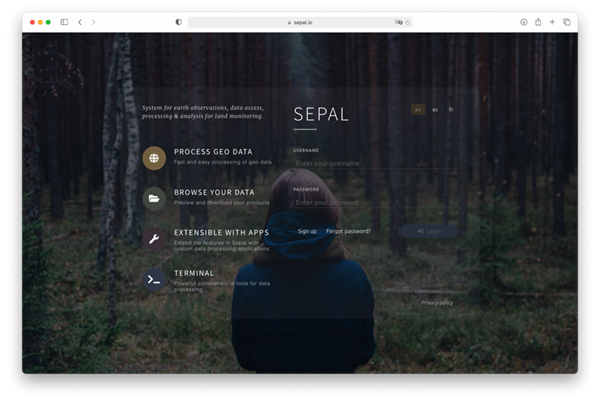
Restoration
Monitoring
Innovative technical solutions are advancing ecosystem restoration as a powerful nature-based solution to multiple global challenges.
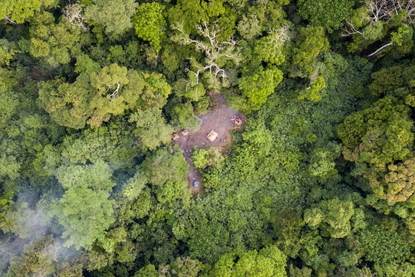
Country support
From Indonesia to Guatemala, Papua New Guinea to Ethiopia, FAO is providing support and guidance to countries around the world, as they enhanced and strengthen their national forest monitoring systems. Through this support, countries gain access to transparent and precise information crucial for the sustainable management of their forest resources. By implementing forest-positive policies and actions, nations not only mitigate climate change but also address pressing issues such as food insecurity, poverty alleviation, and gender equality. To fulfill this objective capacity development is fundamental.
FAO supports capacity development and technological innovation in forest and land monitoring processes. FAO platforms like Open Foris and SEPAL, empower users in over 196 countries to monitor diverse forest types and ecosystems, ranging from boreal forests and steppes to tropical jungles and peatlands, and savannas, and enabling Indigenous Peoples and local communities to protect their rights. Open Foris solutions facilitate flexible and efficient data collection, analysis and reporting, with 89 percent of the submitting countries using at least one of the solutions.
With FAO's robust data collection, management, and processing tools, countries can effectively track changes in their forest landscapes and make informed decisions. Each pin on the map represents a specific in-country project or program, illustrating FAO's tailored support and collaboration in diverse regions across the globe.

