Data and Tools
A gateway to useful FLR knowledge tools and platforms, such as geospatial platforms and various databases, with links to guidelines and examples.
Type of data/tool
- Aggregated data (4)
- Carbon market (2)
- Data collection (1)
- Financial estimations (2)
- Geospatial planning (8)
- GHG accounting (3)
- Microdata (1)
- Monitoring (8)
- Policy information (1)
- Project information (7)
- Project-investor matchmaking (3)

Geospatial planning
FERM Geospatial Platform
Purpose: Find geospatial data on biophysical and socio-economic aspects.
Short Guidelines; Tutorials; Manuals:

Geospatial planning
HiH Initiative Geospatial Platform
Purpose: Find geospatial data on biophysical and socio-economic aspects.
Short Guidelines; Tutorials; Manuals:

Geospatial planning
Atlas of Forest Landscape Restoration Opportunities
Purpose: Maps in this atlas represent global approximation of the extent and location of the opportunities for forest landscape restoration
Short Guidelines; Tutorials; Manuals:

Geospatial planning
Climate Smart Restoration Tool
Purpose: Provide information on seed collection and transfer of native plants.
Short Guidelines; Tutorials; Manuals:

Geospatial planning
Forest Landscape Integrity Index Map
Purpose: Integrates data on observed and inferred forest pressures and lost forest connectivity.
Short Guidelines; Tutorials; Manuals:
Geospatial planning
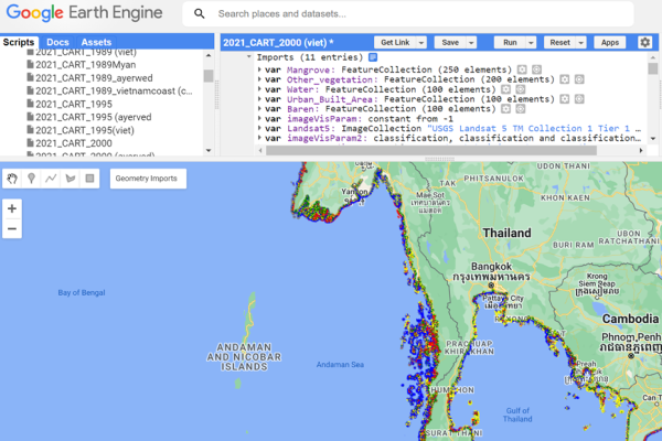
Google Earth Engine
Purpose: To detect changes, map trends, and quantify differences on the Earth's surface.
Short Guidelines; Tutorials; Manuals:

Geospatial planning
WePlan - Forests
Purpose: WePlan - Forests is a decision support platform for tropical and subtropical forest ecosystem restoration planning that aims to maximise the climate change mitigation, biodiversity conservation and poverty alleviation benefits arising from forest restoration.
Short Guidelines; Tutorials; Manuals:
.png?sfvrsn=2ecacd3_1)
Geospatial planning
SEPAL
Purpose: Data can be created and analyzed for any place on Earth (eg. land use maps, analyze time series, run change detection). Within SEPAL there is an application called se.plan which can be used for restoration planning and decisions.
Short Guidelines; Tutorials; Manuals: