Digital tools
The eLocust3 suite
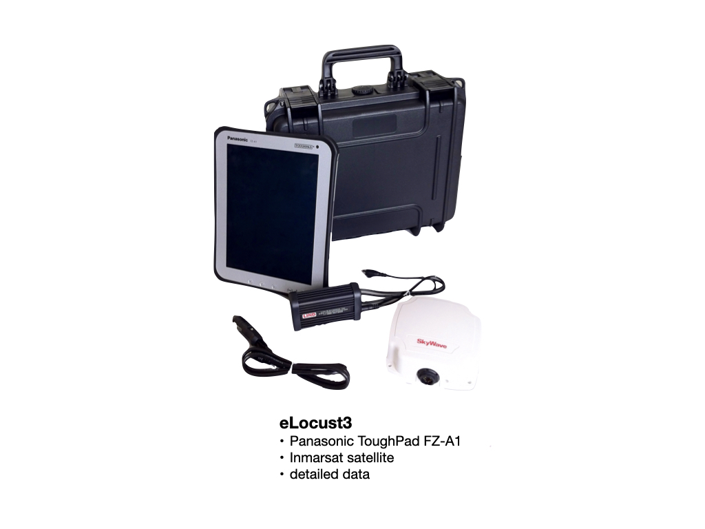
The entire eLocust3 suite - eLocust3 tablet, eLocust3g, eLocust3m and eLocust3w - transmits data in real time directly to the national locust centre in the country, not to FAO. The country’s RAMSES (Rv4.1) GIS is used to receive the data for validation and importing into its national locust database. From there, the data can be used for planning and prioritising the timing and location of survey and control operations within in the country. It is also used to keep everyone informed of the current situation by preparing and sharing reports and bulletins within the country and with neighbouring countries, FAO and other partners.
eLocust3m – a smartphone app
eLocust3m is an app developed by FAO and Penn State University for smartphones. It can be downloaded from the Google Play Store and Apple App Store. There are two versions – PRO and BASIC. The PRO version is meant to be used by well-trained national locust survey and control teams that enter the complete field data on ecology, locusts, control, and safety. The BASIC version is meant to be used mainly during emergencies when temporary teams are seconded as well as others such as farmers, communities, extension agents, and NGOs that help to report locusts. As these people are unlikely to be well-trained or have much locust experience, only the minimal data required are collected by the BASIC version. In both versions, the data are saved to the phone and transmitted automatically once a network is available to the national locust centre of the country where the national Desert Locust Information Officer imports the data into the country’s RAMSES (Rv4.1) GIS for validation and analysis. A copy of each report can be seen on eLocust3m in the in-country WhatsApp-like chat. This allows reports, photos and messages to be shared immediately with all other users in the country to better plan survey and control operations. In this way, everybody can be kept informed in real-time, and national planners can see the data on a map on the PlantVillage platform.


eLocust3 – a table with satellite network
eLocust3g – a GPS satellite communicator


eLocust3w – a web-based form for any device

eLocust3 data are accessible via specific cloud servers
Locust survey and control data are collected by field teams using eLocust3 tablet, eLocust3g, eLocust3m or eLocust3w. The data pass through specific cloud platforms for collation and on forwarding to the respective country where data are imported into the country’s RAMSES (Rv4.1) national GIS. From here, data are validated and analysed for national planning purposes and to keep the country informed of the current locust situation. Validated Rv4.1 data are regularly transmitted to FAO’s Desert Locust Information Service (DLIS) for global analysis and early warning, and further uploading to the global Locust Hub.

The Locust Hub is the centralized core of all Desert Locust data and emergency response
The FAO/ESRI Locust Hub is the one-stop website on the Internet where the latest Desert Locust situation and emergency response can be found. It is constantly updated as the situation changes. The locust situation can be followed over time and locations of locust infestations can be seen on a global, continental, regional, national and farm level. The data are fully accessible to the public and can be freely downloaded to be used for research, models and other non-commercial purposes. The progress of emergency response can be followed according to country, donor, and equipment type. The Locust Hub will continue to expand and grow to meet the needs of all users.


