Emergency operations
EarthRanger: managing survey and control aircraft during emergencies
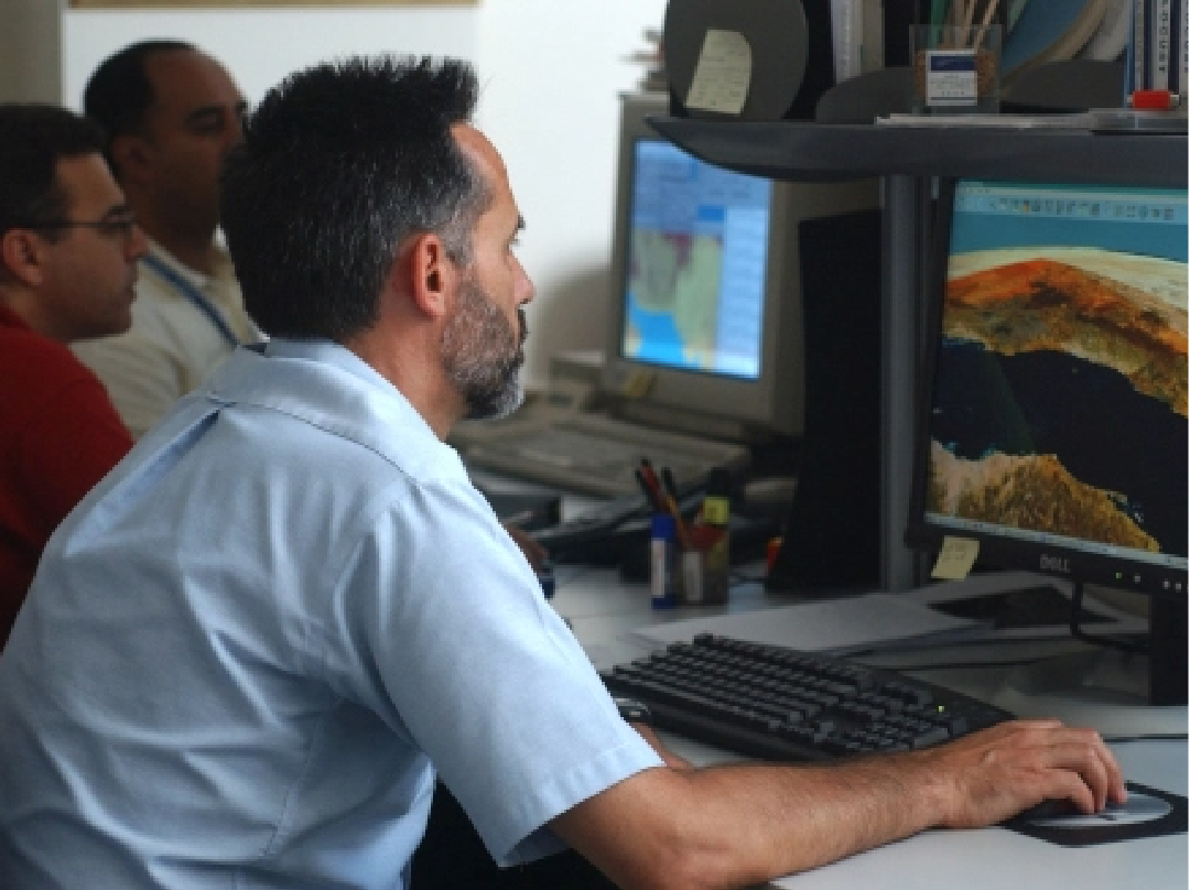
Vulcan, a philanthropic organization, has developed the EarthRanger software for wildlife management. In 2020, DLIS collaborated with Vulcan to adapt the software for managing Desert Locust aerial survey and control operations. EarthRanger has been enhanced to ensure ingestion of eLocust3m and eLocust3g data as well as exporting manually entered data in a compatible format for inclusion in the RAMSES GIS used by national locust authorities. Prior to the use of EarthRanger, aircraft used in emergency locust operations were not systematically managed or tracked.
Vulcan, a philanthropic organization, has developed the EarthRanger software for wildlife management. In 2020, DLIS collaborated with Vulcan to adapt the software for managing Desert Locust aerial survey and control operations. EarthRanger has been enhanced to ensure ingestion of eLocust3m and eLocust3g data as well as exporting manually entered data in a compatible format for inclusion in the RAMSES GIS used by national locust authorities. Prior to the use of EarthRanger, aircraft used in emergency locust operations were not systematically managed or tracked.

EarthRanger: tracking specific control operations
All aircraft and associated logistics can be managed by EarthRanger's online system. Data are visualized on maps, including the locations of all aerial assets and spray runs of specific control operations in real-time with continual updates. Using Tableau, statistical and inventory information are tabulated and presented for reporting purposes.
All aircraft and associated logistics can be managed by EarthRanger's online system. Data are visualized on maps, including the locations of all aerial assets and spray runs of specific control operations in real-time with continual updates. Using Tableau, statistical and inventory information are tabulated and presented for reporting purposes.

See also
Наблюдение за Землей
(на английском языке)
Наблюдение из космоса за осадками, растительностью и влажностью почвы

Цифровые инструменты
(на английском языке)
Пакет приложений eLocust3: передача данных с мест в национальные центры по борьбе с саранчой в реальном времени
Модели
(на английском языке)
Оценка темпов развития и миграции саранчи, трехмерная визуализация и оптимальные меры реагирования
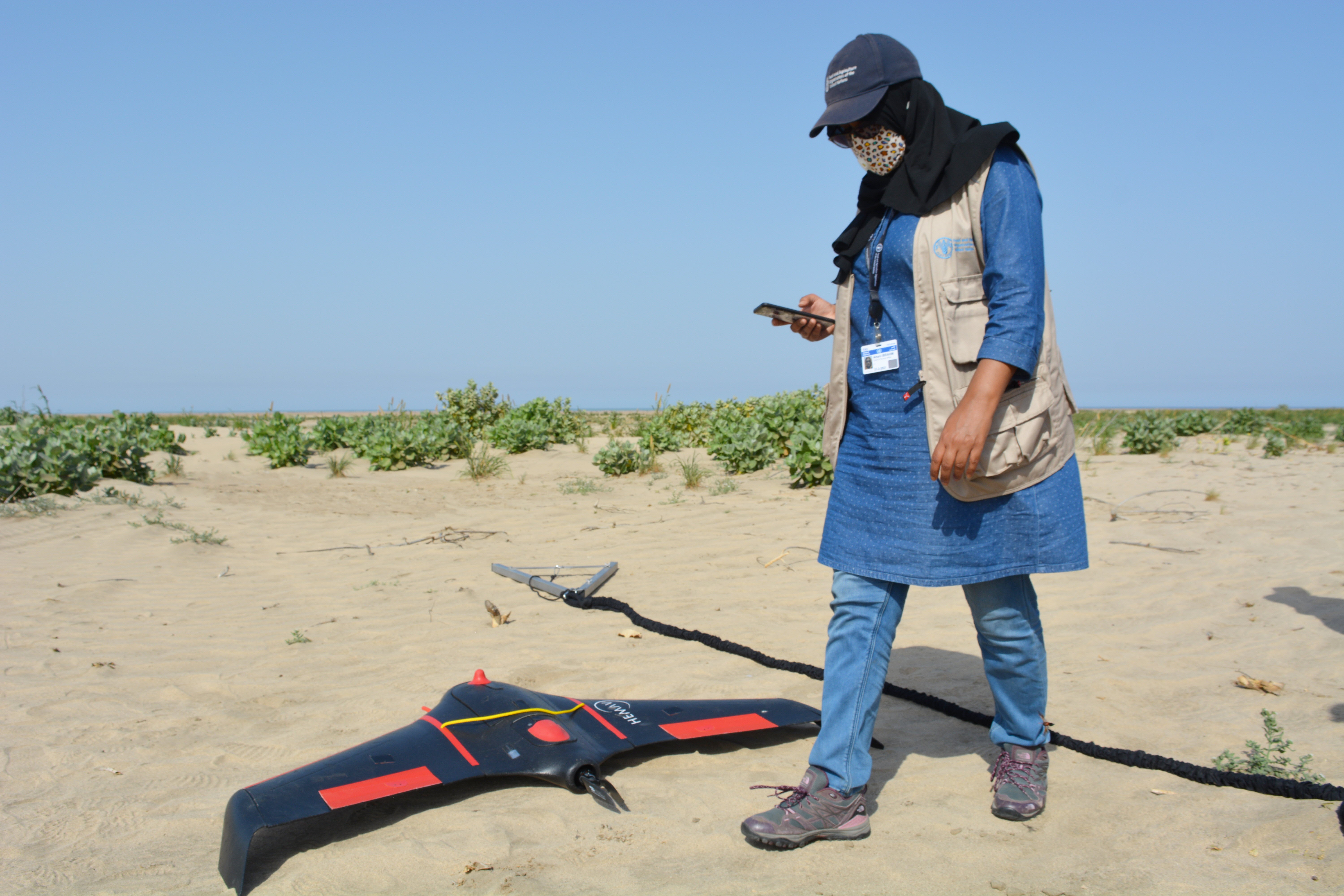
Беспилотные летательные аппараты
(на английском языке)
dLocust: беспилотные летательные аппараты с большой дальностью полетов для картографирования растительности и выявления саранчи
Прогнозы климатических условий
(на английском языке)
Использование шестимесячных прогнозов осадков и температуры для прогнозирования развития саранчи