Innovating Demand-Driven Approaches
If you have field, ground or training data, we can use it to train the ensemble, improving predictions in your area of interest. If you have map products to contribute to the ensemble, our custom pipeline will illuminate where your model is the strongest. Through our network of trusted observers, we conduct field inventories to train and validate our ensemble or use crowd-sourced open data.
We use publicly available processing tools and platforms in the cloud to allow any user to access this open data and bring it into their own systems.
Our solutions

Ground is a solution designed for the efficient collection and management of environmental data. Developed as part of the Open Foris initiative, Ground leverages the robust technological infrastructure of Google Earth Engine and is designed specifically to be user-friendly, allowing non-technical users such as local farmers, small-holders and cooperatives in remote areas to easily collect, sync, and manage data even without internet connectivity. Its development can ensure the efforts of local communities are included in global efforts for forest conservation, empowering them with the technology to monitor and report changes in their environment.
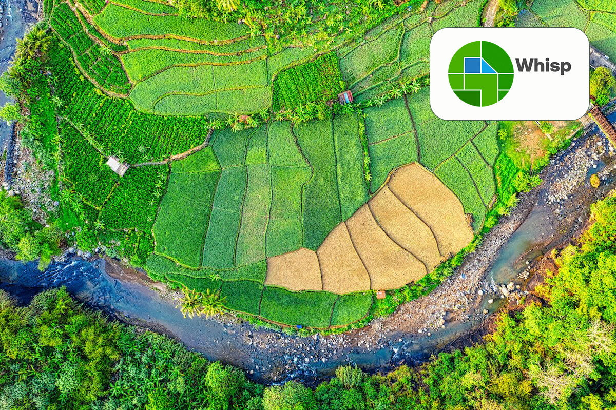
Who is Whisp for?
Whisp is for everyone along the commodity supply chain, from smallholders, cooperatives, third parties, and operators, to governments and relevant authorities.
- Smallholders: Simply use your mobile app to capture your farm boundaries. Open Foris Ground automatically generates your GeolD(s), which seamlessly travels down the commodity supply chain.
- Cooperatives: If you already have farm boundaries from your farmers but without GeolDs, you can easily upload them into the Whisp API using the user interface.
- Governments, third parties, operators: Easily use your own maps by customising the Source Code, adapting the process and layers as needed.
Digital Public Infrastructure prototype
What is a Digital Public Infrastructure? It refers to a collection of technological components that are powered by interoperable open standards and specifications. These components are managed under a framework of enabling rules and governed in an open, transparent, and participatory manner. This infrastructure is designed to foster innovation, inclusivity, and competition on a large scale.
Key publications
-solution-to-implement-convergence-of-evidence-tmb-0.tmb-th600x450.jpg?Culture=en&sfvrsn=586ac97d_3 "towards-a-digital-public-infrastructure-for-deforestation-related-trade-regulations-what-is-in-that-plot-(whisp)-solution-to-implement-convergence-of-evidence.tmb-0")
Towards a digital public infrastructure for deforestation-related trade regulations. What is in that plot? (Whisp)
31/05/2024
The Food and Agriculture Organization of the United Nations (FAO) drives the development of a pre-competitive digital public infrastructure to support compliance on aspects of the trade regulations related to forest monitoring.
Videos
Forest Data Partnership: The Traceability and Transparency Tipping Point: Transforming Agricultural Supply Chains
06/11/2023
A Forest Data Partnership Webinar "The Traceability and Transparency Tipping Point: Transforming Agricultural Supply Chains" The rapidly evolving landscape...
Forest Data Partnership: Aligning and Innovating for a Shared Data Ecosystem
06/02/2023
Join this webinar to learn about how the Forest Data Partnership’s approach will build alignment of stakeholders to reach consensus around key datasets...