FLR Afghanistan Knowledge Hub


.png?sfvrsn=6ce6cbe5_0 "Ferula_Afg")
Afghanistan is a landlocked, mountainous country situated in Central Asia. It has significant natural resources, yet very limited land and water resources. The economy is predominantly an agricultural economy, where agriculture is practiced largely on a subsistence basis. About 80 percent of Afghans live in rural areas. Forest depends on the government and the user right belongs to the public. Afghanistan has approximately 1.78 million ha of forest and shrubs accounting for about 2.8 percent of the total land area.
Many areas in Afghanistan are facing severe deforestation and land degradation caused by unsustainable land-use practices. Further, sparse vegetation cover and mountainous terrain result in rapid rainwater runoff contributing to flooding and erosion, along with being vulnerable to disaster events such as earthquakes, flooding and droughts. Exposure to such events and impacts of climate change has adversely impacted the communities and their livelihoods, further exacerbating the socio-economic vulnerability of rural Afghan communities.

Source: SEPAL, 2023.
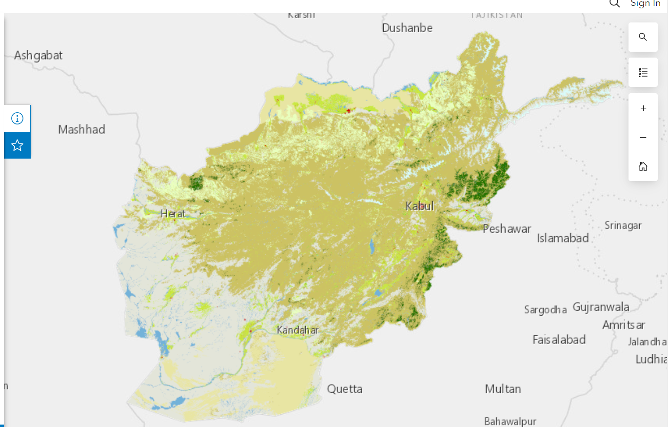
Source: EarthMap, 2023.
Resources
The FLR Afghanistan Knowledge Hub serves as a centralized access point for knowledge and data resources, providing a range of tools to support project and program development, data-driven decision-making, and analysis and reporting. These resources also acts as valuable tools for learning and replicating similar interventions.
Afghanistan Maps
LRIMS is a tool which features land resources, agro-ecological and climatic maps generated under regional, provincial and district administrative levels in Afghanistan.

Food and Agriculture Policy Decision Analysis (FAPDA) Afghanistan Profile
This section consists of socio-economic, food, agriculture, forest, climate change, disaster and similar other components.

Journal articles
This section comprises of list of the research articles related to natural resource management in Afghanistan.

Other FLR projects in Afghanistan
This section features the list of the FLR projects in Afghanistan.
Best cases and success stories
Framework for Ecosystem Restoration Monitoring (FERM) platform includes database on restoration initiatives, good practices and geospatial information o ecosystem restoration. The platform is useful for monitoring transparent ecosystem restoration progress.
World Overview of Conservation Approaches and Technologies (WOCAT) is a global network on Sustainable Land Management (SLM) that promotes the documentation, sharing and use of knowledge to support adaptation, innovation and decision-making in SLM.
Publications

Land, People, and the State in Afghanistan: 2002 - 2012
2013
This paper reviews the formal treatment of land rights in Afghanistan over the post-Bonn decade (2002 - 2012). The objective is to document the developments in the recent past to better understand present and possible future trends.

Agro-ecological Zoning Atlas
2019
Within the context of the (GCP/AFG/087/EC), an EU funded project which is implemented by MAIL; FAO and IIASA developed a National Agro-Ecological Zoning activity (NAEZ) in Afghanistan. This Atlas is the first of two books and provides the collected information and historical maps of the country based on the agro-climatic Indicators. (eg:- Multiple cropping zones for rain-fed conditions; Mean monthly precipitation)

Climate Risk Country Profile Afghanistan
2021
Climate Risk Country Profiles present a high-level assessment of physical climate risks for a country, providing insight for decision-makers into the potential for increasing, expanding, and emerging risks across space and time, and for different climate futures. Climate and climate-related information is largely drawn from the Climate Change Knowledge Portal (CCKP), a WBG online platform with available global climate data and analysis based on the latest IPCC reports and datasets.

The Global Forest Resources Assessments (FRA) Report Afghanistan 2020
2020
Statistical data available from 1990 to 2020 for multiple FLR components like forest extent, characteristics and changes; Forest designation and management; forest ownership and management rights; forest disturbances; education and NWFP and sustainable Development Goal 15.