News
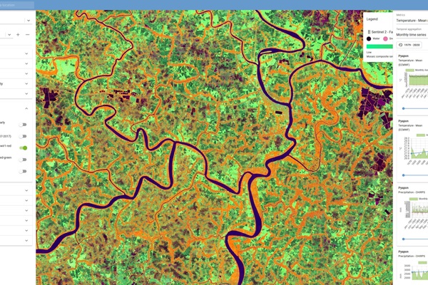
FAO’s environment and climate monitoring portal Earth Map receives Google impact award
06/05/2024
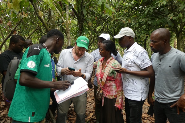
Enhancing compliance with deforestation-free regulations and enabling local participation with Ground: Insights from user experiences in Ivory Coast
05/05/2024
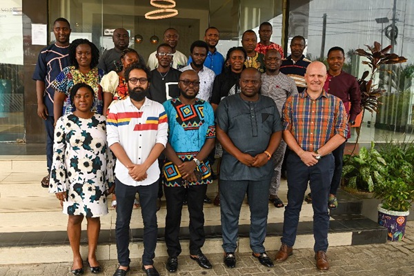
FAO and EU delegation kick-off forest inventory capacity development activities in Freetown
24/04/2024
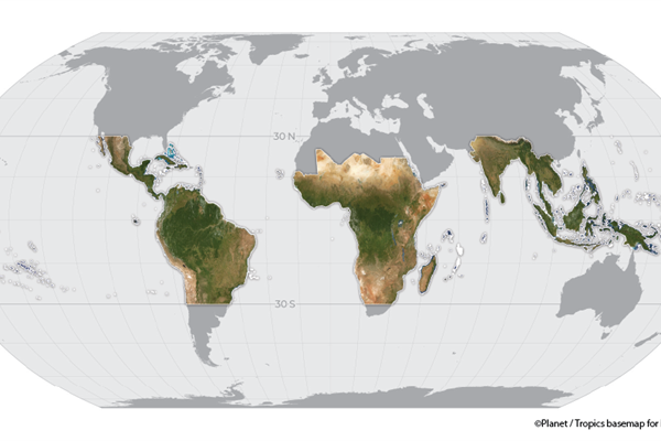
Transforming forest monitoring through innovation: FAO and the NICFI Satellite Data Program
11/04/2024
On March 21st, the International Day of Forests celebrated the pivotal role of innovation in transforming forest monitoring. A key aspect of FAO and partner countries’ innovative work is the utilization of Planet's high-resolution satellite imagery through the NICFI Satellite Da...
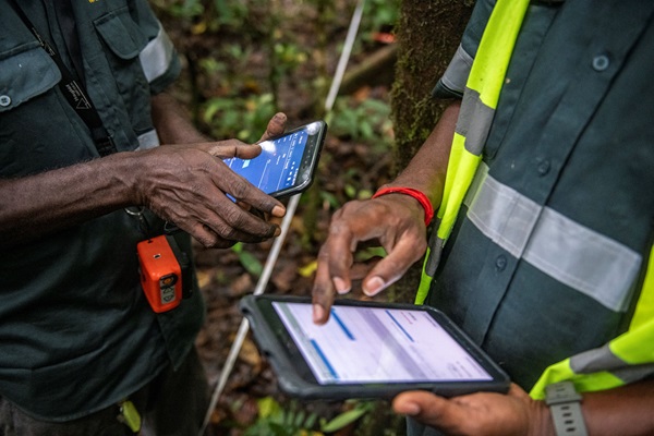
International Day of Forests: FAO, Google and partners launch solution easing people’s ability to monitor and protect forests
21/03/2024
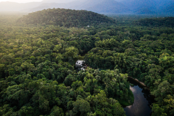
Harnessing Tech for Trees: Google Earth Engine & FAO Drive Forest Climate Action
21/03/2024
.tmb-th600x400.jpg?Culture=en&sfvrsn=343e822e_1)
Unlocking climate finance: Ghana’s Measurement Reporting and Verification best practice
26/02/2024
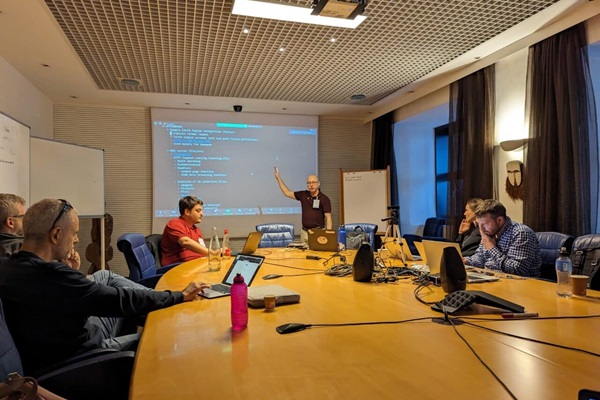
Building strong ties to support forests
14/11/2023
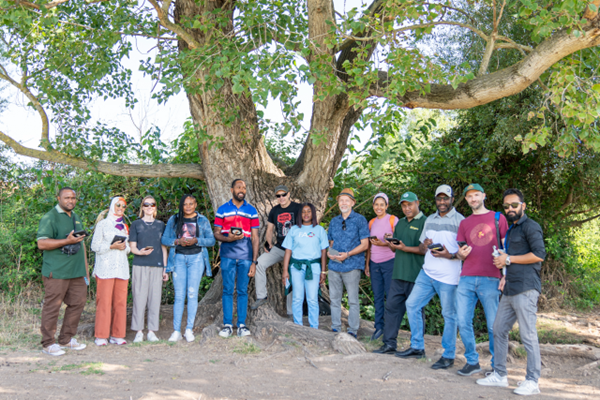
Enhancing forest data management and analysis with Open Foris Arena
05/10/2023
.tmb-th600x400.jpeg?Culture=en&sfvrsn=c30721c2_3)
Toward high-integrity forest data in Africa using Open Foris and SEPAL
24/07/2023
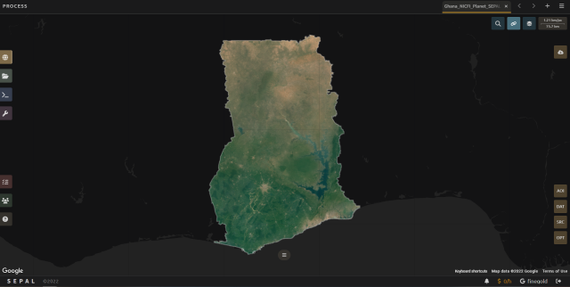
Quality data leveraging Emission Reduction payments: Ghana’s zero deforestation cocoa
26/01/2023
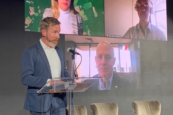
Connecting Forests and People
21/11/2022
“We are in the golden age of open data and remote sensing”, said FAO Forestry Officer Erik Lindquist opening the panel discussion at the Connecting Forests and People event organized by FAO's National Forest Monitoring team on October 20 in the framework of the Science and Innovation Forum 2022. “Never before have we had so much information at our fingertips about the Earth's environment and surface to process and learn. The main challenge, though, is making better decisions based on the better data.”
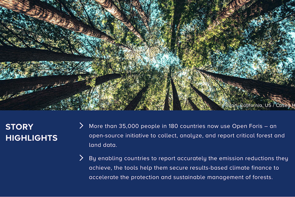
How Digital Innovation Has Accelerated Monitoring of the World’s Forests
14/09/2022
- More than 35,000 people in 180 countries now use Open Foris – an open-source initiative to collect, analyze, and report critical forest and land data.
- By enabling countries to report accurately the emission reductions they achieve, the tools help them secure results-based climate finance to accelerate the protection and sustainable management of forests.
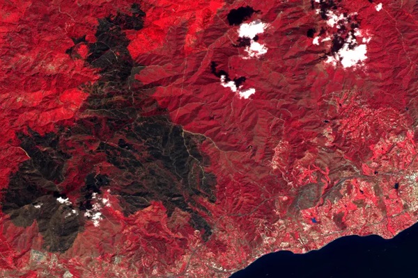
Exploring natural disasters with Earth Map: Sierra Bermeja, a ‘sixth generation wildfire’ in Spain
06/10/2021
In this article we present Earth Map, a free and open-source software developed by the Food and Agriculture Organization of the United Nations (FAO) to facilitate the visualization, processing and analysis of land and climate data. Earth Map has been developed in the framework of the FAO-Google partnership thanks to the support of the International Climate Initiative (IKI). Earth Map is also one of the free open-source solutions for environmental monitoring under the umbrella of the Open Foris Initiative. Using Earth Map we will explore the recent Sierra Bermeja wildfire and present our findings.
