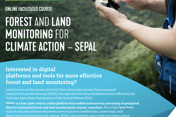
Interested in digital platforms and tools for more effective forest and land monitoring?
Learn how to use SEPAL.
To support knowledge and skills development to operationally apply high-resolution satellite imagery to critical forest and land monitoring in tropical forest countries.
The course focuses on how the SEPAL platform can support land and forest monitoring. It will guide you through selected functionalities and applications of the platform, and frameworks, systems and processes for forest and land monitoring for climate action.
The course is open to all interested in digital platforms and tools for forest and land monitoring, and is entirely based on an interactive, learning-by-doing approach, offering a wide range of case studies, hands-on activities and online facilitated sessions.Dates: from 24 March to 7 May 2023
Duration: From 2 to 6 weeks, depending on the learning path of your choice.
Modules:
- Institutionalization of forest data
- Introducing SEPAL for forest and land monitoring
- High-integrity measurement, reporting and verification
- Monitoring of forest and ecosystem restoration
- Peatland mapping and monitoring
Learning paths: The course structure is flexible and allows you to choose from 3 available learning paths.
Languages: the course will be simultaneously delivered in English, French, and Spanish.
Certificates: depending on your learning path, you can earn a certificate of attendance or a digital badge certification.


