eLocust3m: smartphone data via the internet
eLocust3m
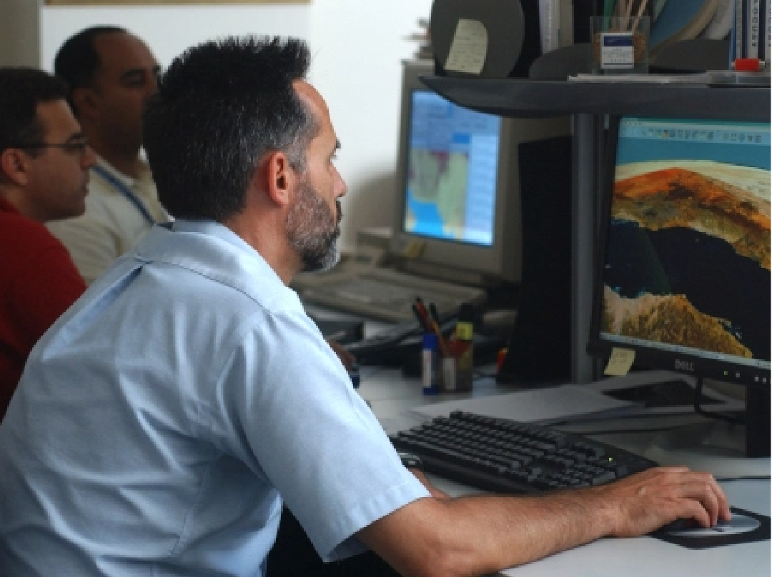
eLocust3m is an app developed by FAO and Penn State University (USA) for smartphones. It can be downloaded from the Google Play Store and the Apple App Store. There are two versions – PRO and BASIC. In both versions, the data are saved to the phone and transmitted automatically once a network is available to the national locust centre of the country where the national Desert Locust Information Officer imports the data into the country’s RAMSES (Rv4.1) GIS for validation and analysis. A copy of each report can be seen on eLocust3m in the in-country WhatsApp-like chat. This allows reports, photos and messages to be shared immediately with all other users in the country to better plan survey and control operations. In this way, everybody can be kept informed in real-time, and national planners can see the data on a map on the PlantVillage platform.

The PRO version is meant to be used by experienced users such as well-trained national locust officers can enter the complete field data on ecology, locusts, control, and safety in eLocust3m using the PRO report module. In this way, countries now have two options for collecting and transmitting complete field data: eLocust3 tablet and eLocust3m smartphone app. The tablet should continue to be used by teams that are in areas with no connectivity for several days or more. However, teams that return to cell/internet connectivity at the end of each day can use eLocust3m.

BASIC mode
The BASIC version is meant to be used mainly during emergencies when temporary teams are seconded as well as others such as farmers, communities, extension agents, and NGOs that help to report locusts. As these people are unlikely to be well-trained or have much locust experience, only the minimal data required are collected by the BASIC version.

What is eLocust3m?
eLocust3m is a smartphone application built by PlantVillage at Penn State University for FAO, that records and transmits data about weather, ecology, locust, and control in near or real-time from the field to national locust centres for planning and FAO for early warning. It is one of the fundamental tools for collecting standardised field data required to manage Desert Locust.
How does it work?
The user enters observations in the field that are saved on the smartphone, sent to the national locust centre and shared with other users in the country when a cell or internet connection is available.
Who can download the eLocust3m app?
Ideally, well-trained field staff who conduct surveys and control in locust-affected areas but also others such as farmers, communities, extension agents, and NGOs can use the app to report locusts.
Do I have to register to use the app?
Yes. You must register with your name, cell number and password. All user data are kept confidential and not shared. You do not have to register separately for the BASIC and PRO versions because both are included in the same app. The app is free.
What happens if I forget my password?
Please contact FAO/DLIS ([email protected]) for assistance.
What equipment do I need to use eLocust3m?
You only need a recent smartphone. No additional cables or antennas are required.
Is the app available in different languages?
Yes. The app works according to your smartphone's language. Currently, the app is compatible with Amharic, Arabic, English, Farsi, French, Hindi, Portuguese, Somali, and Urdu. Other languages can be added.
Should I be concerned that the application is available to everyone?
No. The benefit of having more geospatial data, especially during locust emergencies when data are required for control operations, forecasting and assistance, outweighs any negative aspects of data quality because there are several validation mechanisms in place to ensure correct data.
Why does the app request access to my location, photos and files?
This helps to ensure that all functionality of the app works correctly. For example, the app uses the built-in GPS of your smartphone to determine the latitude and longitude of each location automatically. Photos taken with the app must be saved to your smartphone before they can be sent. Each report must also be saved to your smartphone before it can be transmitted. If access is not allowed, the app will not work.
Is there quality control of the data?
Yes. There are five mechanisms in place: (1) the app does not allow incomplete or illogical data to be entered, (2) the PlantVillage platform uses artificial intelligence and a team of data validators to correct the data before it is sent to the national locust centre, (3) national locust information officers review and correct the data in the RAMSES GIS before it is sent to FAO, (4) RAMSES data are checked and duplicate data removed in the centralised Locust Data Cube, and (5) a final check is made by the FAO Senior Locust Forecasting Officer.
Can I use the app without an internet or cell network connection?
Yes. The app should be started when there is an Internet connection, usually in the morning before the user goes to the field. After that, all of its functions, including the automatic recording of GPS coordinates at each location, can be used without the Internet or cell network in the field. All data are automatically saved to the smartphone, which is then transmitted once the Internet or cell network becomes available.
Why must I take a photo at each location?
Photos of vegetation and locusts are very useful in validating the data to ensure high quality and reliability.
Why are there two eLocust3m versions – BASIC and PRO?
The BASIC version is meant to be used mainly during emergencies when temporary teams are seconded as well as others such as farmers, communities, extension agents, and NGOs are helping to report locusts. As these people are unlikely to be well-trained or have much locust experience, only the minimal data required are collected by the BASIC version. The PRO version is meant to be used by well-trained national locust survey and control teams.
What is the difference between the BASIC and PRO version?
The BASIC report consists of the very minimum data required (date, location, locust type(s), hopper instar(s), area (surveyed, infested or treated), and control). The PRO report consists of the full data set on ecology, locusts, control and safety, which is the same data as the eLocust3 tablet.
What is the difference between eLocust3m and eLocust3?
The eLocust3m app consists of data recording and transmission, chat (for sharing data and photos), and maps, while the eLocust3 tablet does not have chat or maps. eLocust3 tablet also requires a custom Bluetooth cable, satellite antenna, and a monthly subscription for data transmission services.
Why must data go through PlantVillage?
It is common practice for the transmission of any digital data to pass through a cloud-based intermediary. In this case, FAO does not have the necessary infrastructure and PlantVillage as a non-commercial partner offers additional benefits of data quality control and data mapping. In other words, non-GIS users such as locust directors can follow the situation in real time from any computer connected to the Internet.
Is the PlantVillage platform safe?
Yes. PlantVillage is part of Penn State University, which has many safety features in place for security. PlantVillage is also the core engine for the USAID Innovation Lab on Current and Emerging Threats to Crops. The platform is password-protected and only registered users can access it. Different levels of access are established for general users, national locust information officers and locust directors.
Does the app drain the smartphone battery?
No. It is recommended that users keep the app on throughout the day during the entire survey without logging off. Although modern smartphone batteries have sufficient capacity for this, the smartphone can always be plugged into the cigarette lighter of the vehicle for recharging if necessary.
How can data be shared with other countries?
Data are shared with other users in the same country using the app's Chat function. Data sharing between countries is achieved by sharing the RAMSES data, which has gone through the validation process. It is never recommended to share raw eLocust3m data with other countries which has not been corrected because this could lead to confusion, unnecessary panic, and bad decisions.
Is there a limit to the number of reports I can save?
No. As each report is very small, your smartphone can save many hundreds of reports.
Will photos still be sent if I have poor connectivity?
No. When the Internet or cellular network is weak, the app sends only the data and then later it will send the photos when the connectivity is stronger. For this reason, it is recommended that once users reach strong connectivity, often at the end of the day when they return from the field, that they keep the smartphone on until all data and photos are sent by the app.
Can I change the data after the report is submitted?
No. It is not possible to change or edit the data after a report has been submitted. Therefore, always check that the data are correct before submitting the report.
Can the app be used for other locust species?
Yes. It can be used for other species such as Red, Brown, Migratory, Moroccan, Italian, and South American Locusts.
Why not use a tablet instead of a smartphone?
Smartphone displays use a different technology so that they are easier to see outdoors in bright conditions than tablets. Smartphone batteries last longer than tablets. Smartphones are easier to carry and use in the field. The app has been developed specifically for smartphone displays.
Where can I download eLocust3m?
Android download: play.google.com
Apple downloads: apps.apple.com
See also

eLocust3m: smartphone data via the internet
eLocust3m is an app that allows reports, photos and messages to be shared immediately with all other users in the country to better plan survey and control operations.
Earth observation
Monitoring rainfall, vegetation and soil moisture from space
Google Earth Engine
Innovative Google technology and free new tools: Google Earth Pro, My Maps, Fusion Tables, and Google Earth Engine, already used by FAO Forestry and being extended for Desert Locust
Early Warning
The basic components that are required for any early warning system to be effective and reliable
Desert Locust Information Service
The Desert Locust Information Service (DLIS) at FAO Headquarters (Rome, Italy)