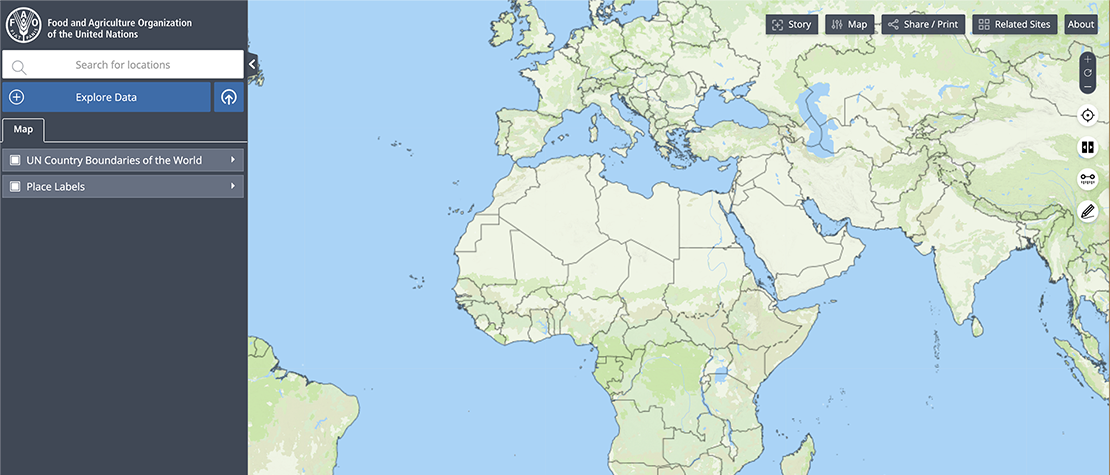
Hand-in-Hand Geospatial platform
About

Bringing together geospatial and statistical data for more targeted agricultural interventions
The Hand-in-Hand Geospatial Platform, led by the Digital FAO and Agro-informatics Division's Agro-informatics team, is a digital public good that helps analyze and compare data on food and agriculture, so that interventions can be more targeted to reduce poverty, hunger and increase economic development.
Geospatial information – especially aerial and satellite images captured remotely by sensors – is being increasingly used to monitor natural resources and risk areas. From pest management without the overuse of pesticides to reducing the effects of locust swarms, data and technology have become essential enabling tools for the efficient and sustainable use of our Earth’s natural resources.
The responsible collection, use, and integration of different kinds of data from diverse domains unlocks a world of information that can be applied to sustainable development interventions, early warning systems and natural resource management.
The platform unlocks over 2 million of data layers from different domains and sources to serve as a key enabling tool FAO's HiH Initiative and to help digital agriculture experts, economists, government and non-government agencies, and other stakeholders working in the food and agriculture sector.
The data has been sourced from FAO and other leading public data providers across the UN and NGOs, academia, private sector and space agencies. It also incorporates FAOSTAT data on food and agriculture for over 245 countries and territories from 1961 to the most recent year available. Since the launch of the HiH Geospatial Platform in 2020 over 65 countries and institutions have participated in workshops to learn how leveraging data and technology can contribute to digital agriculture transformation and rural development.
The platform has been developed to serve geospatial data experts and non-technical users to platform to produce data maps or create compelling impact stories. From remote-sensed geospatial data to statistical time series, the data visualization tool enables the analysis of public and private agricultural-related data at global, regional, national and subnational levels.
In May 2022, the platform was recognized as the best collaborative platform towards data-driven agriculture, winning the World Excellence Award at the Geospatial World Forum (GWF) 2022.
