The Integrated Monitoring Initiative for Sustainable Development Goal 6 (IMI-SDG6) is coordinated by UN-Water and was established at the beginning of the 2030 Agenda period, to accelerate the achievement of SDG 6: Ensure availability and sustainable management of water and sanitation for all.
IMI-SDG6 supports countries to collect, analyze and report SDG 6 data, and assists policy and decision-makers to use this data for better policy-decisions and investments.
To this ends, the initiative creates guides, organizes trainings, develops methodology for contextualized and disaggregated data and information. Visit the Resources & Support section for more information >>>
Contact us:
[email protected]

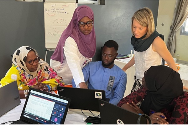
Pilot exercise on Gender contextualization of SDG 6: "Promoting an inclusive and gender-sensitive analysis of water and sanitation data". Opening workshop was concluded in M’Bour, Senegal
26/05/2023
From 23 to 26 May, the Food and Agriculture Organization of the United Nations (FAO) and the Ministry of Water and Sanitation of Senegal organized the national workshop on Gender contextualization of SDG 6 "Promoting an inclusive and gender-sensitive analysis of water and sanitation data" in M...

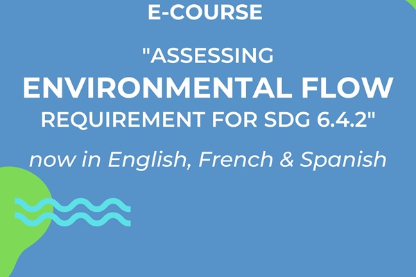
E-learning course “Assessing the environmental flow requirement for SDG Indicator 6.4.2” to support sustainable use of water is online
09/03/2023

Disaggregation of water stress levels by river basin: Cap Matifou sub-basin (Algeria)
03/2024
[Available in French] The study develops a model to disaggregate SDG 6.4.2 using the Water Evaluation and Planning System (WEAP). The Cap Matifou sub-basin (near Algiers), covering an area of 795.7 km2. The model was tested on six small sub-basins of the Cap Matifou, with a total area of about 636.5 km2 , corresponding to the Arara, Boumerdès, Corso, Boudouaou, Réghaïa and Hamiz wadis.

A disaggregation of indicator 6.4.2 “Level of water stress: freshwater withdrawal as a proportion of available freshwater resources” at river basin district level in Italy
01/2023
This report is the presentation of the methodology applied in Italy to spatially disaggregate the computation of the level of water stress from the national to the subnational scale (SDG indicator 6.4.2). Compared to the national assessment, which results in a low level of water stress in the country, the spatial disaggregation of the indicator by the hydrological unit highlighted the presence of basins affected by water stress exceeding 60 per cent (district of the Po river basin).

Guidelines for calculation of the agriculture water use efficiency for global reporting. The agronomic parameters in the SDG indicator 6.4.1: yield ratio and proportion of rainfed production.
01/2022
[Also available in: Arabic - Portuguese - French - Spanish] These guidelines are intended to assist countries in understanding the agronomic parameters involved in the computation of the agricultural component of the Sustainable Development Goal (SDG) indicator 6.4.1 on the change in water use efficiency over time.
